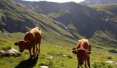
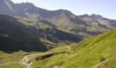
Trail Walking Bourg-Saint-Maurice - Chalet Robert Blanc - Les Chapieux - Photo

Chalet Robert Blanc - Les Chapieux

 tracegps
tracegps

User

© OpenStreetMap contributors
Length
Length
15 km
Max alt
Max alt
2771 m
Uphill gradient
Uphill gradient
1118 m
Km-Effort
Km-Effort  
30 km
Min alt
Min alt
1862 m
Downhill gradient
Downhill gradient
1115 m
Boucle
Boucle
Yes
Creation date :
2014-12-10 00:00:00.0
Updated on :
2014-12-10 00:00:00.0

(0 Reviews)

Walking
Walking
5h00
Difficulty : Difficult

Scan this QR Code to open this trail in the SityTrail application

FREE GPS app for hiking

Logo SityTrail SityTrail

IGN / Geographical institutes

Download SityTrail from the App Store Download SityTrail from Google Play

Logo SityTrail SityTrail World

The world is yours!

Download SityTrail from the App Store Download SityTrail from Google Play Download SityTrail on Huawei AppGallery

About

Trail Walking of 15 km to be discovered at Auvergne-Rhône-Alpes, Savoy, Bourg-Saint-Maurice. This trail is proposed by tracegps.

Description

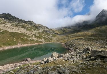
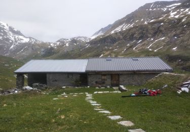
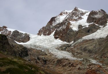
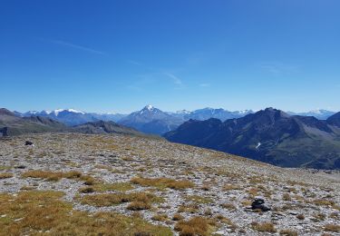
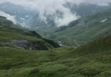
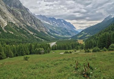
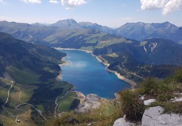
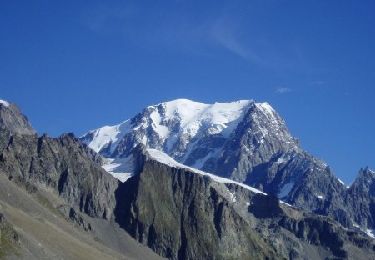
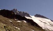
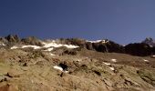
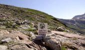
Départ du parking les Lanchettes commune des Chapieux (73). Ascension des 4 premiers kilomètres assez difficiles, notamment de dernier kilomètre avant d'arriver au chalet Robert Blanc (plusieurs petits rochers à escalader par l'itinéraire des "rochers rouges"). Belle vue sur la vallée et sur la petite aiguille des glaciers, passage près du glacier "glacier des glaciers".Se diriger ensuite sur le col de la Seigne 4 kilomètres de dificulté moyenne, table d'orientation. Du col de la seigne descente sans difficulté jusqu'au point d'arrivée. A noter: Parking pour campings cars et caravanes aux Chapieux. Des navettes sont prévues toutes les 1/2 heures pour se rendre au parking des lanchettes également prévues pour les retours aux Chapieux.

Elevation profile

Photos

Positioning

Country:
France
Region :
Auvergne-Rhône-Alpes
Department/Province :
Savoy
Municipality :
Bourg-Saint-Maurice
Location:
Unknown
Start:(UTM)
327299 ; 5067778 (32T) N.

Trails nearby

Trail Walking Bourg-Saint-Maurice - suuntoapp-Hiking-2024-09-10T06-18-18Z - Photo
Walking
GUIDE
holtzv

Walking

Very difficult
Bourg-Saint-Maurice, Auvergne-Rhône-Alpes, Savoy, France
16.7 km | 28 km-effort
6h 27min
No
Trail Touring skiing Bourg-Saint-Maurice - autour du lac de Mya - Photo
Touring skiing
GUIDE
nadd73

Touring skiing

Easy
Bourg-Saint-Maurice, Auvergne-Rhône-Alpes, Savoy, France
10.1 km | 25 km-effort
4h 42min
No
Trail On foot Courmayeur - Alta Via n. 2 della Valle d'Aosta - Tappa 2 - Photo
On foot
GUIDE+

On foot

Medium
Courmayeur, Aosta Valley, Unknown, Italy
17.9 km | 27 km-effort
6h 10min
No
Trail On foot Courmayeur - (SI F07) Rifugio Elisabetta - Courmayeur - Photo
On foot
GUIDE+

On foot

Medium
Courmayeur, Aosta Valley, Unknown, Italy
14.9 km | 25 km-effort
5h 39min
No
Trail Walking Bourg-Saint-Maurice - le lac de Mya, le col des Fours et la tête  sud des Fours - Photo
Walking
GUIDE
amiral13

Walking

Difficult
Bourg-Saint-Maurice, Auvergne-Rhône-Alpes, Savoy, France
12.3 km | 26 km-effort
6h 20min
Yes
Trail Walking Bourg-Saint-Maurice - Le refuge de La Croix du bonhomme Elisabetta soldoni - Photo
Walking
GUIDE
Roger Philippe Wallez

Walking

Very difficult
Bourg-Saint-Maurice, Auvergne-Rhône-Alpes, Savoy, France
17.2 km | 32 km-effort
8h 6min
No
Trail On foot Courmayeur - IT-14 - Photo
On foot
GUIDE+

On foot

Easy
Courmayeur, Aosta Valley, Unknown, Italy
6.2 km | 10.9 km-effort
2h 29min
No
Trail Walking Les Contamines-Montjoie - Beaufortain: Autour de La Pierra Menta: J4 - Ref du Col du Bonhomme - Gite de Plan Mya - Photo
Walking
patjobou

Walking

Difficult
Les Contamines-Montjoie, Auvergne-Rhône-Alpes, Upper Savoy, France
13.1 km | 21 km-effort
4h 2min
No
Trail Walking Bourg-Saint-Maurice - Col de Seigne - Photo
Walking
Hugues Michel

Walking

Difficult
Bourg-Saint-Maurice, Auvergne-Rhône-Alpes, Savoy, France
10.1 km | 19.1 km-effort
3h 1min
Yes


Close
My subscriptions