


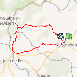

9.5 km | 12 km-effort


User


FREE GPS app for hiking
 SityTrail
IGN / Geographical institutes
SityTrail World
The world is yours!
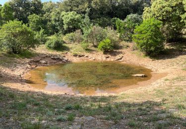
Trail Walking of 15.3 km to be discovered at Occitania, Hérault, Puéchabon. This trail is proposed by Manontom.
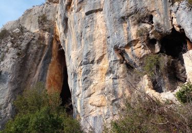
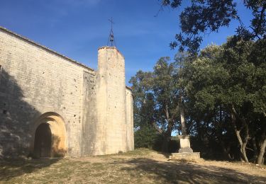
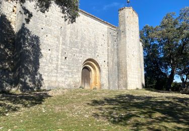
Bergerie Neuve ,hameau de Lavène ,ruines de Montcalmes ,vue sur St. Guilhem ,Balcon de l'Hérault ,pont du Diable ,église de St. Sylvestre des Brousses.

Walking

Walking
Walking

Walking
Walking
Walking
Walking
Walking

Walking