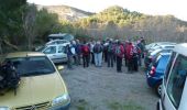
Trail Walking Moux - Le signal d'Alaric et le Roc Gris - Moux - Photo

Le signal d'Alaric et le Roc Gris - Moux

 tracegps
tracegps

User

© OpenStreetMap contributors
Length
Length
13.6 km
Max alt
Max alt
597 m
Uphill gradient
Uphill gradient
636 m
Km-Effort
Km-Effort  
22 km
Min alt
Min alt
124 m
Downhill gradient
Downhill gradient
638 m
Boucle
Boucle
Yes
Creation date :
2014-12-10 00:00:00.0
Updated on :
2014-12-10 00:00:00.0

(0 Reviews)

Walking
Walking
5h30
Difficulty : Medium

Scan this QR Code to open this trail in the SityTrail application

FREE GPS app for hiking

Logo SityTrail SityTrail
IGN / Geographical institutes

Download SityTrail from the App Store Download SityTrail from Google Play

Logo SityTrail SityTrail World

The world is yours!

Download SityTrail from the App Store Download SityTrail from Google Play Download SityTrail on Huawei AppGallery

About

Trail Walking of 13.6 km to be discovered at Occitania, Aude, Moux. This trail is proposed by tracegps.

Description

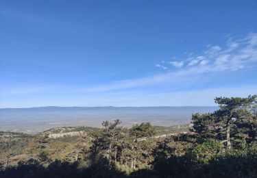
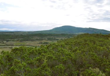
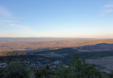
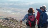
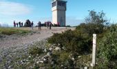
LE SIGNAL D'ALARIC par jullie68 Moux - Le signal d'Alaric et le Roc Gris. Montagne d'Alaric Altitude 600 m, massif des Corbières. La Montagne d'Alaric (en occitan montanha d'Aric) est un petit massif situé dans le département de l'Aude au sud-est de Carcassonne. Le point culminant de ce massif est le signal d'Alaric à 600 m. Son versant nord est un terroir viticole appelé vignoble de la Montagne d'Alaric. Accès: Le départ de la randonnée est à la sortie de Moux, un village situé en bordure de la N113, dans le département de l'Aude, à l'est de Carcassonne (35 Km) et à l'ouest de Narbonne (27 Km). De Carcassonne, prendre la N113 direction Narbonne jusqu'à la bifurcation de Moux. De Narbonne, prendre la N113 direction Carcassonne jusqu'à l'embranchement de Moux. A Moux, parmi les rues qui mènent au sud, il faut prendre celle qui conduit au cimetière et puis passe sous l'autoroute. Vous pouvez apercevoir au passage le balisage rouge et blanc du GR 77, ainsi qu'un panneau descriptif du site de l'Alaric et des divers sentiers de randonnée qui le parcourent. Peu après être passé sous l'autoroute, prendre le chemin à gauche ou se trouve un parking. Le Signal d’Alaric culmine à 600 mètres d’altitude, ce qui représente un dénivelé de 510 mètres depuis le village de Moux. Quelques liens sur le sujet, languedoc.org, gilbertjullien et Moux Alaric

Elevation profile

Photos

Points of interest

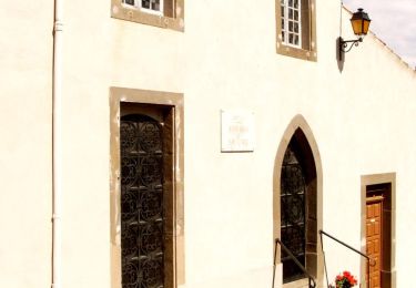
Point of interest Moux - Bifurcation GR36 - Photo
tracegps
Point of interest Moux - Bifurcation GR77 - Photo
tracegps
Point of interest Moux - La maiterie sans fin - Photo
tracegps
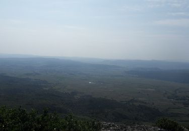
Point of interest Moux - Le Signal d'Alaric - Photo
tracegps
Point of interest Moux - Roc Gris - Photo
tracegps
MOUX 
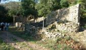
Point of interest Moux - Ruines bergerie - Photo
tracegps

Positioning

Country:
France
Region :
Occitania
Department/Province :
Aude
Municipality :
Moux
Location:
Unknown
Start:(UTM)
471023 ; 4780248 (31T) N.

Trails nearby

Trail Walking Montbrun-des-Corbières - Montbrun - Photo
Walking
belhache

Walking

Very easy
(1)
Montbrun-des-Corbières, Occitania, Aude, France
9.3 km | 11.6 km-effort
2h 21min
Yes
Trail Walking Comigne - Signal Alaric par Comigne combe Mijere Roc gris  - Photo
Walking
GUIDE
Ada11

Walking

Medium
Comigne, Occitania, Aude, France
13.6 km | 21 km-effort
5h 15min
Yes
Trail Walking Moux - Sur les pas de Roland - Signal d'Alaric - La Caune  - Photo
Walking
jacques delaporte

Walking

Very difficult
Moux, Occitania, Aude, France
17 km | 26 km-effort
5h 25min
Yes
Trail Walking Montbrun-des-Corbières - MONTBRUN DES CORBIERES rocher du renard - Photo
Walking
Licianus2

Walking

Easy
Montbrun-des-Corbières, Occitania, Aude, France
7.4 km | 9.3 km-effort
1h 30min
Yes
Trail Walking Moux - Le signal de  l'alaric - Photo
Walking
F.Rioland

Walking

Medium
Moux, Occitania, Aude, France
24 km | 32 km-effort
3h 37min
No
Trail Walking Fontcouverte - FONCOUVERTE - variante au tracé balisé - Photo
Walking
Licianus2

Walking

Easy
(1)
Fontcouverte, Occitania, Aude, France
7.8 km | 10 km-effort
2h 6min
Yes
Trail Other activity Fabrezan - Fabrezan - Photo
Other activity
danielm31

Other activity

Easy
Fabrezan, Occitania, Aude, France
5.3 km | 6.8 km-effort
1h 54min
No
Trail Running Fontcouverte - Défi de l'Alaric 2012 - Fontcouverte - Photo
Running
tracegps

Running

Difficult
Fontcouverte, Occitania, Aude, France
18.1 km | 26 km-effort
2h 30min
Yes
Trail Mountain bike Fontcouverte - Défi de l'Alaric 2012 - Fontcouverte - Photo
Mountain bike
tracegps

Mountain bike

Very difficult
Fontcouverte, Occitania, Aude, France
18.1 km | 26 km-effort
2h 30min
Yes


Close
My subscriptions