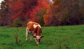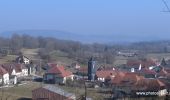

Randonnée à Chapelle d'Huin

tracegps
User

Length
10.4 km

Max alt
851 m

Uphill gradient
201 m

Km-Effort
13.1 km

Min alt
773 m

Downhill gradient
200 m
Boucle
Yes
Creation date :
2014-12-10 00:00:00.0
Updated on :
2014-12-10 00:00:00.0
1h49
Difficulty : Medium

FREE GPS app for hiking
About
Trail Walking of 10.4 km to be discovered at Bourgogne-Franche-Comté, Doubs, Chapelle-d'Huin. This trail is proposed by tracegps.
Description
Départ centre du village. Randonnée assez facile. Dissimulé dans un pli de terrain entre le plateau de Levier et celui de Pontarlier, aux alentours de 800 m d’altitude, Chapelle d’Huin se cache des regards et reste invisible de la route Pontarlier-Salins.
Positioning
Country:
France
Region :
Bourgogne-Franche-Comté
Department/Province :
Doubs
Municipality :
Chapelle-d'Huin
Location:
Unknown
Start:(Dec)
Start:(UTM)
283378 ; 5199835 (32T) N.
Comments
Trails nearby
Levier "le petit"


Walking
Very difficult
Levier,
Bourgogne-Franche-Comté,
Doubs,
France

19 km | 24 km-effort
5h 20min
Yes
ronde des sapins


Walking
Very easy
Levier,
Bourgogne-Franche-Comté,
Doubs,
France

19 km | 25 km-effort
3h 54min
Yes
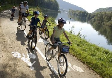
Le Mont Poupet - Doubs


Cycle
Difficult
Levier,
Bourgogne-Franche-Comté,
Doubs,
France

69 km | 88 km-effort
3h 30min
Yes

chapelle d'huin longcochon


Horseback riding
Difficult
Chapelle-d'Huin,
Bourgogne-Franche-Comté,
Doubs,
France

27 km | 32 km-effort
6h 12min
No

Route des sapins LEVIER


Hybrid bike
Medium
Levier,
Bourgogne-Franche-Comté,
Doubs,
France

39 km | 48 km-effort
Unknown
Yes

Gorges de la Loue


Cycle
Medium
Levier,
Bourgogne-Franche-Comté,
Doubs,
France

63 km | 78 km-effort
4h 18min
No


 SityTrail


