Trail Walking Wingen-sur-Moder - Boucle de 2 jours Sur les traces des verriers et des sabotiers  - Photo

Boucle de 2 jours Sur les traces des verriers et des sabotiers

 cathel11
cathel11

User

© OpenStreetMap contributors
Length
Length
25 km
Max alt
Max alt
439 m
Uphill gradient
Uphill gradient
722 m
Km-Effort
Km-Effort  
35 km
Min alt
Min alt
214 m
Downhill gradient
Downhill gradient
717 m
Boucle
Boucle
No
Creation date :
2019-03-03 11:37:33.423
Updated on :
2019-11-20 11:59:51.616

(0 Reviews)

Walking
Walking
4h42
Difficulty : Medium

Scan this QR Code to open this trail in the SityTrail application

FREE GPS app for hiking

Logo SityTrail SityTrail

IGN / Geographical institutes

Download SityTrail from the App Store Download SityTrail from Google Play

Logo SityTrail SityTrail World

The world is yours!

Download SityTrail from the App Store Download SityTrail from Google Play Download SityTrail on Huawei AppGallery

About

Trail Walking of 25 km to be discovered at Grand Est, Bas-Rhin, Wingen-sur-Moder. This trail is proposed by cathel11.

Description

Boucle de 2 jours au départ de la gare de Wingen sur Moder, fin de la 1ère étape à Meisenthal à l'auberge des 2 Mésanges.

Elevation profile

Photos

Points of interest

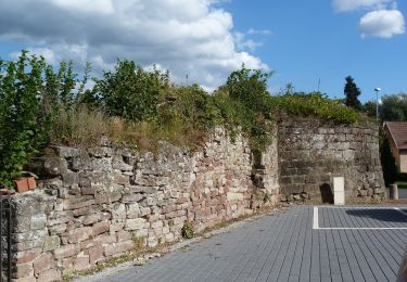
Point of interest Wingen-sur-Moder - Départ Wingen sur Moder - Photo
cathel11
WINGEN-SUR-MODER 
Point of interest Wingen-sur-Moder - Heidenkopf - Photo
cathel11
WINGEN-SUR-MODER 
Point of interest Meisenthal - Pierre des 12 Apôtres - Photo
cathel11
Point of interest Goetzenbruck - Restaurant - Photo
cathel11
GOETZENBRUCK 
Point of interest Saint-Louis-lès-Bitche - Cristallerie de St-Louis - Photo
cathel11
SAINT-LOUIS-LÈS-BITCHE 
Point of interest Saint-Louis-lès-Bitche - Eglise de St-Louis-lès-Bitsch - Photo
cathel11
SAINT-LOUIS-LÈS-BITCHE 
Point of interest Meisenthal - Hôtel des mésanges - Photo
cathel11
Point of interest Rosteig - Auberge de la Muhlmatt - Photo
cathel11
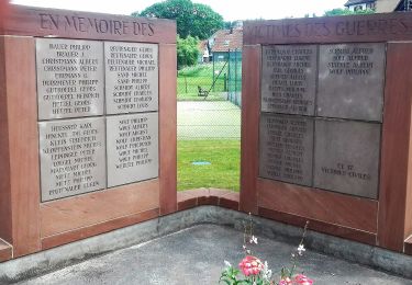
Point of interest Wingen-sur-Moder - Tombes Teutsch - Photo
cathel11
WINGEN-SUR-MODER 
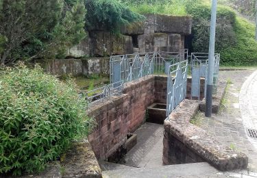
Point of interest Wingen-sur-Moder - Château du Hochberg - Photo
cathel11
WINGEN-SUR-MODER 
Point of interest Wingen-sur-Moder - Musée Lalique - Photo
cathel11
WINGEN-SUR-MODER 

Positioning

Country:
France
Region :
Grand Est
Department/Province :
Bas-Rhin
Municipality :
Wingen-sur-Moder
Location:
Unknown
Start:(UTM)
381715 ; 5419769 (32U) N.

Trails nearby

Trail On foot Puberg - Disque vert - Photo
On foot
GUIDE+

On foot

Medium
Puberg, Grand Est, Bas-Rhin, France
15.9 km | 20 km-effort
4h 39min
No
Trail On foot Reipertswiller - Disque jaune - Photo
On foot
GUIDE+

On foot

Easy
Reipertswiller, Grand Est, Bas-Rhin, France
8.5 km | 11.2 km-effort
2h 32min
No
Trail On foot Zittersheim - Anneau jaune - Photo
On foot
GUIDE+

On foot

Easy
Zittersheim, Grand Est, Bas-Rhin, France
9.5 km | 12.9 km-effort
2h 55min
Yes
Trail On foot Wimmenau - Rectangle jaune barré de blanc - Photo
On foot
GUIDE+

On foot

Easy
Wimmenau, Grand Est, Bas-Rhin, France
4.7 km | 6.2 km-effort
1h 24min
No
Trail On foot Sparsbach - Chevalet rouge - Photo
On foot
GUIDE+

On foot

Easy
Sparsbach, Grand Est, Bas-Rhin, France
3.2 km | 5.1 km-effort
1h 9min
No
Trail On foot Wingen-sur-Moder - Following in the footsteps of the Glass and Clog makers - Tour 1 - Photo
On foot
GUIDE+

On foot

Medium
Wingen-sur-Moder, Grand Est, Bas-Rhin, France
17.4 km | 24 km-effort
5h 30min
Yes
Trail On foot Meisenthal - Mooncatchers permanent trail - 20 km - Photo
On foot
GUIDE+

On foot

Easy
Meisenthal, Grand Est, Moselle, France
8.8 km | 11.7 km-effort
2h 39min
No
Trail On foot Soucht - Mooncatchers permanent trail - 10 km - Photo
On foot
GUIDE+

On foot

Easy
Soucht, Grand Est, Moselle, France
9.3 km | 12.5 km-effort
2h 50min
Yes
Trail On foot Erckartswiller - Croix jaune - Photo
On foot
GUIDE+

On foot

Easy
Erckartswiller, Grand Est, Bas-Rhin, France
5.1 km | 6.7 km-effort
1h 31min
No


Close
My subscriptions