


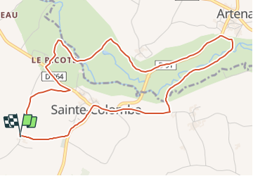

7.9 km | 9.1 km-effort


User


FREE GPS app for hiking
 SityTrail
IGN / Geographical institutes
SityTrail World
The world is yours!
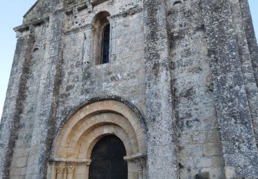
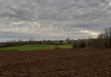
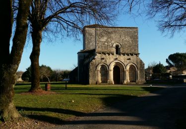
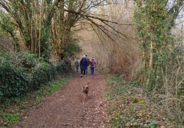
Trail Running of 6.1 km to be discovered at New Aquitaine, Charente, Val-de-Bonnieure. This trail is proposed by tracegps.
Circuit agréable, 5 passages de rivière dont un sans pont où il faudra se mouiller les pieds. Avec de magnifiques petits ponts de pierre.
Walking
Walking
Walking
Walking
Walking

Mountain bike

Other activity
Other activity
Other activity