


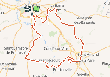

44 km | 52 km-effort


User


FREE GPS app for hiking
 SityTrail
IGN / Geographical institutes
SityTrail World
The world is yours!
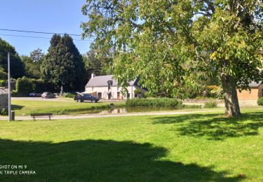
Trail Mountain bike of 45 km to be discovered at Normandy, Manche, Saint-Lô. This trail is proposed by tracegps.
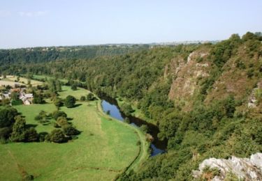
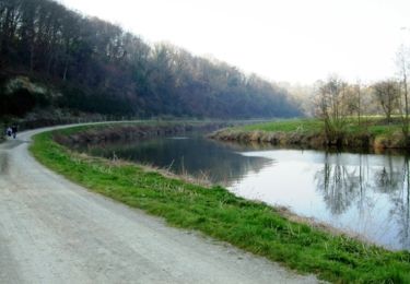
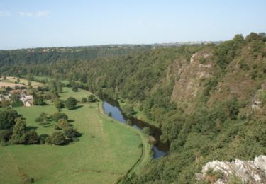
Circuit fait de chemins bocagers vallonnés. Pas de grosse difficulté hormis la montée dans les roches du Ham, quasi impossible les fesses sur la selle, mais cet effort est récompensé par le point de vue exceptionnel arrivé en haut !

Mountain bike
Walking

Walking
Walking
Walking
Equestrian
Mountain bike
Mountain bike