


14.1 km | 16.4 km-effort

User


FREE GPS app for hiking
 SityTrail
IGN / Geographical institutes
SityTrail World
The world is yours!
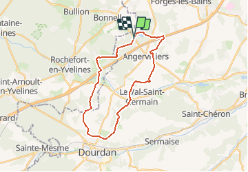
Trail Walking of 25 km to be discovered at Ile-de-France, Essonne, Angervilliers. This trail is proposed by tracegps.
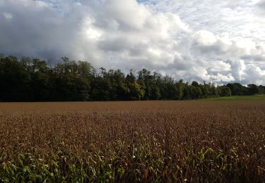
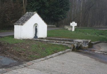
Départ d'un parking sur la D132 dans la forêt d'Angervilliers; on rejoint Machery, Angervilliers, puis le GR111 jusqu'à Dourdan. Retour par le GR de pays du Hurepoix; ensuite le moulin de Morsang, le hameau de la Bâte où on retrouve la forêt d'Angervilliers.


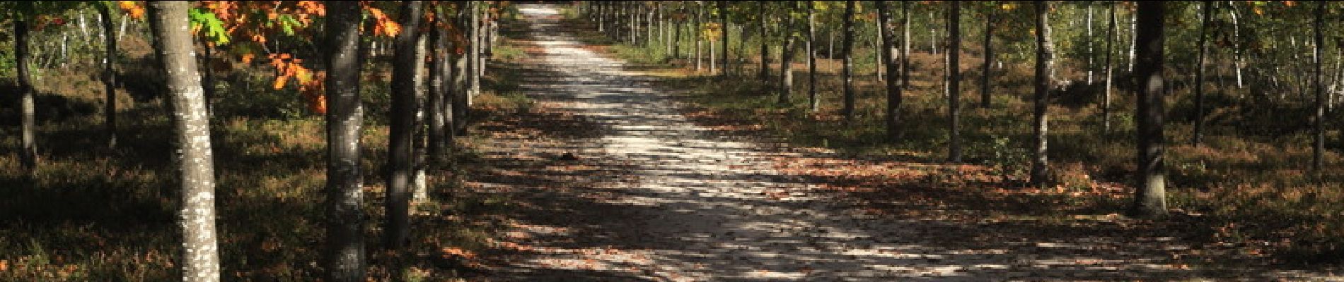
Walking

Walking
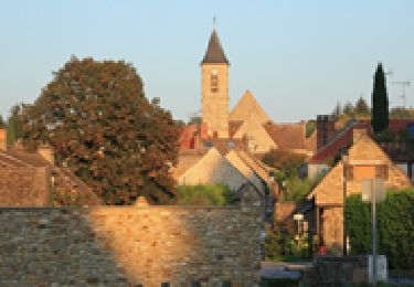
Walking
Walking

Walking
Walking
Walking
Walking

Mountain bike