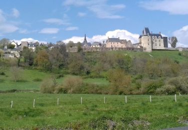
Trail Mountain bike Voutré - Raid VTT Mayenne - J1 - A l'assaut des Rocs et des Monts - Voutré - Photo

Raid VTT Mayenne - J1 - A l'assaut des Rocs et des Monts - Voutré

 tracegps
tracegps

User

© OpenStreetMap contributors
Length
Length
76 km
Max alt
Max alt
340 m
Uphill gradient
Uphill gradient
1417 m
Km-Effort
Km-Effort  
95 km
Min alt
Min alt
89 m
Downhill gradient
Downhill gradient
1417 m
Boucle
Boucle
Yes
Creation date :
2014-12-10 00:00:00.0
Updated on :
2014-12-10 00:00:00.0

(0 Reviews)

Mountain bike
Mountain bike
5h19
Difficulty : Difficult

Scan this QR Code to open this trail in the SityTrail application

FREE GPS app for hiking

Logo SityTrail SityTrail

IGN / Geographical institutes

Download SityTrail from the App Store Download SityTrail from Google Play

Logo SityTrail SityTrail World

The world is yours!

Download SityTrail from the App Store Download SityTrail from Google Play Download SityTrail on Huawei AppGallery

About

Trail Mountain bike of 76 km to be discovered at Pays de la Loire, Mayenne, Voutré. This trail is proposed by tracegps.

Description

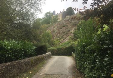
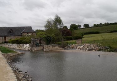
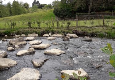
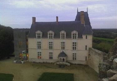
Une randonnée pleine de trésor. Tout d’abord, vous aurez le prestige de découvrir Sainte Suzanne (classé village de France). Le Tertre Ganne et l’ascension des remparts ne vous laisseront pas indifférent tellement les panoramas sont superbes. Ensuite, c’est une liaison d’une vingtaine de km plutôt roulante qui vous mènera aux pieds de nos petites montagnes. Il vous faudra gravir le Montaigu puis le Mont Rochard. C’est le début des Alpes Mancelles qui parle .Enfin, un retour sur Voutré où vous trouverez des descentes fort bien amicales.

Elevation profile

Positioning

Country:
France
Region :
Pays de la Loire
Department/Province :
Mayenne
Municipality :
Voutré
Location:
Unknown
Start:(UTM)
701444 ; 5335128 (30U) N.

Trails nearby

Trail Walking Sainte-Suzanne-et-Chammes - Entre Erve et Charmie  Ste Suzanne 53 - Photo
Walking
GUIDE
yago1404

Walking

Medium
Sainte-Suzanne-et-Chammes, Pays de la Loire, Mayenne, France
8.4 km | 11 km-effort
2h 0min
Yes
Trail Walking Sainte-Suzanne-et-Chammes - Sainte-Suzanne - Le Moulin à papier - Chammes et retour - Photo
Walking
MichelRando7656

Walking

Very easy
Sainte-Suzanne-et-Chammes, Pays de la Loire, Mayenne, France
12.6 km | 14.5 km-effort
4h 18min
Yes
Trail Walking Sainte-Suzanne-et-Chammes - Sainte-Suzanne - Vers la table du Diable 18 km - Photo
Walking
MichelRando7656

Walking

Very easy
Sainte-Suzanne-et-Chammes, Pays de la Loire, Mayenne, France
18 km | 0 m-effort
7h 14min
Yes
Trail Walking Sainte-Suzanne-et-Chammes - Balade autour de Sainte Suzanne - Photo
Walking
Axelloceane

Walking

Easy
Sainte-Suzanne-et-Chammes, Pays de la Loire, Mayenne, France
7.8 km | 9.3 km-effort
2h 2min
Yes
Trail Walking Sainte-Suzanne-et-Chammes - Ste Suzanne Chammes - 6,5 km - Photo
Walking
norbertdenise

Walking

Medium
Sainte-Suzanne-et-Chammes, Pays de la Loire, Mayenne, France
6.4 km | 8.8 km-effort
2h 10min
Yes
Trail Mountain bike Sainte-Suzanne-et-Chammes - ste Suzanne Charmes. - Photo
Mountain bike
xst

Mountain bike

Medium
Sainte-Suzanne-et-Chammes, Pays de la Loire, Mayenne, France
23 km | 27 km-effort
2h 8min
Yes
Trail On foot Saint-Georges-sur-Erve - Circuit de Saint-Georges-sur-Erve - Photo
On foot
GUIDE+

On foot

Easy
Saint-Georges-sur-Erve, Pays de la Loire, Mayenne, France
10.7 km | 14.6 km-effort
3h 19min
Yes
Trail Mountain bike Sainte-Suzanne-et-Chammes - Sainte Suzanne/Torcé-Vivier - Photo
Mountain bike
xst

Mountain bike

Medium
Sainte-Suzanne-et-Chammes, Pays de la Loire, Mayenne, France
27 km | 34 km-effort
2h 30min
No
Trail Walking Sainte-Suzanne-et-Chammes - Sainte Suzanne de Chamme - Photo
Walking
PatRando

Walking

Easy
Sainte-Suzanne-et-Chammes, Pays de la Loire, Mayenne, France
961 m | 1.6 km-effort
12min
No


Close
My subscriptions