


40 km | 43 km-effort


User


FREE GPS app for hiking
 SityTrail
IGN / Geographical institutes
SityTrail World
The world is yours!
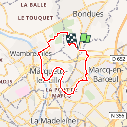
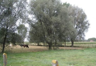
Trail Walking of 11 km to be discovered at Hauts-de-France, Nord, Bondues. This trail is proposed by tracegps.
Circuit proposé par le Syndicat Intercommunal pour la Gestion de l'Aérodrome de Loisirs. Départ du parking de l'aéroport de Bondues, avenue du général De Gaulle. Retrouvez le circuit sur le site du SIGAL.
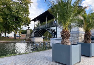
 - Bondues - Photo 1")
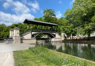
 - Bondues - Photo 2")
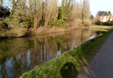
 - Bondues - Photo 3")
 - Bondues - Photo 4")
 - Bondues - Photo 5")
 - Bondues - Photo 6")

Cycle

Walking

Mountain bike

Walking

Walking
Walking
Walking
Walking
Walking