


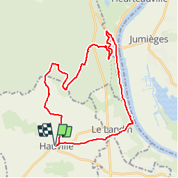

13.7 km | 14.9 km-effort

User


FREE GPS app for hiking
 SityTrail
IGN / Geographical institutes
SityTrail World
The world is yours!
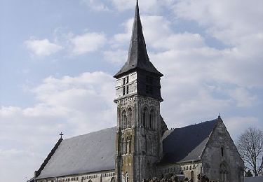
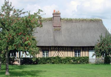
Trail Walking of 16.5 km to be discovered at Normandy, Eure, Hauville. This trail is proposed by tracegps.
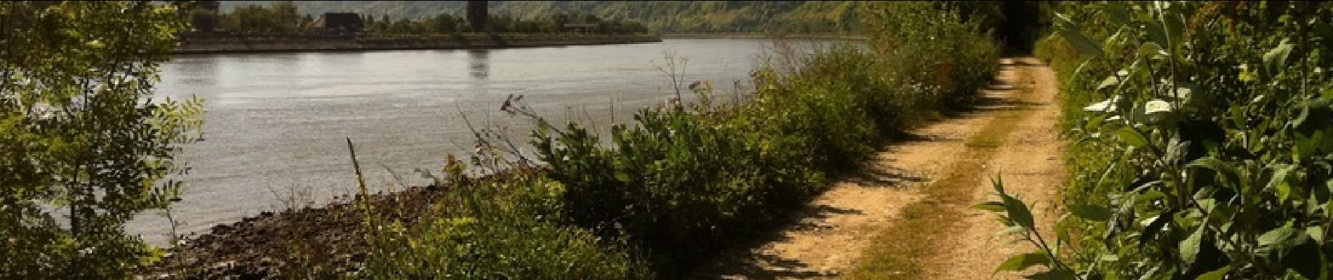
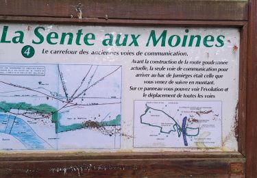
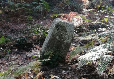
Cette balade utilise en bonne part le GR 23 en forêt domaniale de Brotonne et en chemin de halage au bord de la Seine. La balade nous conduit au pied du Chêne Cuve, reconnu arbre remarquable de France. Toutes les photos sur balades en Normandie.


Walking

Walking
Walking
Walking
Equestrian
Walking
Mountain bike
Walking
Walking