


15.1 km | 21 km-effort

User


FREE GPS app for hiking
 SityTrail
IGN / Geographical institutes
SityTrail World
The world is yours!
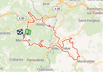
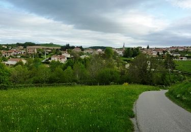
Trail Mountain bike of 50 km to be discovered at Auvergne-Rhône-Alpes, Loire, Montchal. This trail is proposed by tracegps.
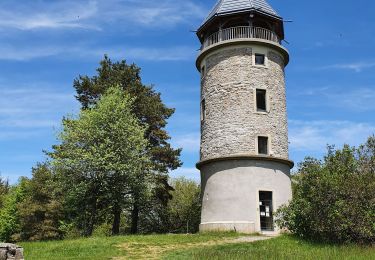
Parking gratuit proche du stade et départ entre le stade et la salle polyvalente "LES ROCHES". La randonnée VTT de "LA TOUR MATAGRIN" est organisée chaque année, le premier dimanche de septembre, par le club Cyclo "SQUADRA FEURS" (la 23ème édition s'est déroulée le dimanche 4 septembre 2011). Sur la commune de Violay, la Tour Matagrin est érigée au sommet du mont Boussuivre, le point culminant des monts du Lyonnais situé à 1004 mètres d’altitude et d'où vous pourrez découvrir, par temps clair, un panorama sur 14 départements alentours et si la visibilité est vraiment bonne, le Mont Blanc. Cette année la Tour Matagrin est en travaux... pour lui offrir un toit (voir photo) !!! Cette boucle VTT est de toute beauté... du pur VTT ! Ce parcours est physique et assez technique, par conséquent il est exclusivement réservé aux VTTistes confirmés et endurants. Topoguides : Montagnes du Matin : Itinéraires VTT Montagnes du Matin : Randonnée pédestre Disponibles dans les OT/SI des Montagnes du Matin (Violay)...
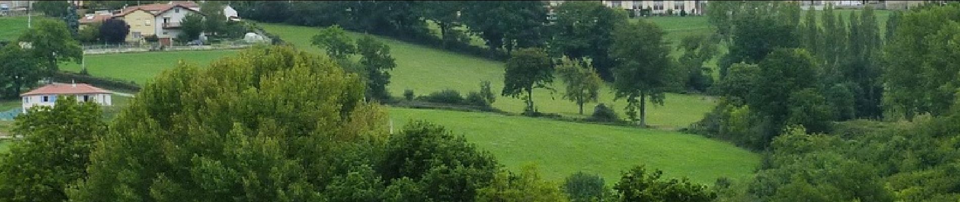
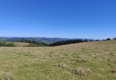
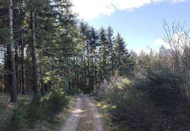
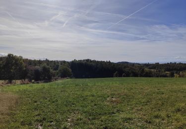
 - Montchal - Photo 1")
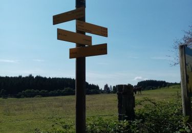
 - Montchal - Photo 2")
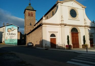
 - Montchal - Photo 3")
 - Montchal - Photo 4")
 - Montchal - Photo 5")
 - Montchal - Photo 6")
Walking
Walking
Walking

Walking
Walking
Walking
Walking

Walking
Mountain bike