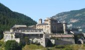
Trail Mountain bike Château-Ville-Vieille - Site VTT FFC Queyras - Circuit n° 08 - Le Sommet Bucher - Château Queyras - Photo

Site VTT FFC Queyras - Circuit n° 08 - Le Sommet Bucher - Château Queyras

 tracegps
tracegps

User

© OpenStreetMap contributors
Length
Length
28 km
Max alt
Max alt
2313 m
Uphill gradient
Uphill gradient
1181 m
Km-Effort
Km-Effort  
44 km
Min alt
Min alt
1347 m
Downhill gradient
Downhill gradient
1181 m
Boucle
Boucle
Yes
Creation date :
2014-12-10 00:00:00.0
Updated on :
2014-12-10 00:00:00.0

(0 Reviews)

Mountain bike
Mountain bike
5h00
Difficulty : Very difficult

Scan this QR Code to open this trail in the SityTrail application

FREE GPS app for hiking

Logo SityTrail SityTrail

IGN / Geographical institutes

Download SityTrail from the App Store Download SityTrail from Google Play

Logo SityTrail SityTrail World

The world is yours!

Download SityTrail from the App Store Download SityTrail from Google Play Download SityTrail on Huawei AppGallery

About

Trail Mountain bike of 28 km to be discovered at Provence-Alpes-Côte d'Azur, Hautes-Alpes, Château-Ville-Vieille. This trail is proposed by tracegps.

Description

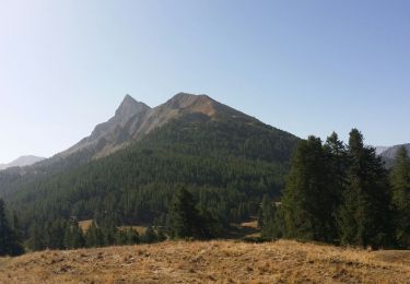
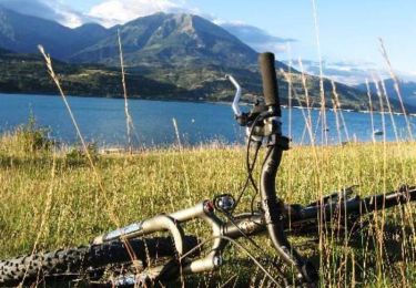
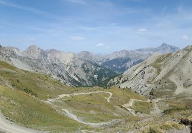
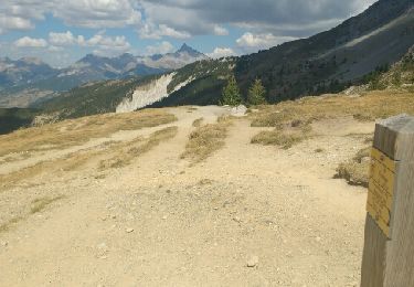
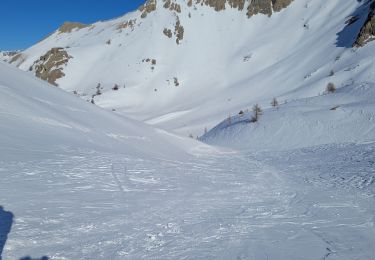
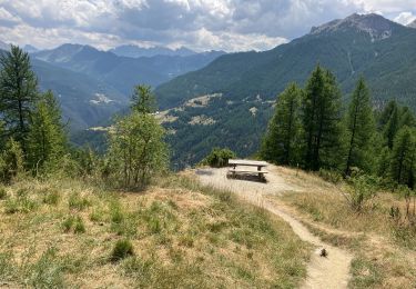
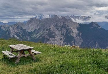
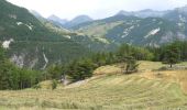
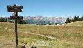
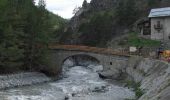
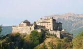
Site VTT FFC Queyras - Circuit n° 08 - Sommet Bucher. Circuit officiel labellisé par la Fédération Française de Cyclisme. Au départ de Château-Queyras, la montée est longue et régulière pour approcher l’antenne. La suite, alterne sentiers et pistes forestières où quelques passages techniques nécessiteront du portage. Un single intéressant, rejoignant Montbardon est assez roulant avec quelques racines et embuches. Pour finir, on rejoint le point de départ par la piste. A noter : Attention, danger signalé aux ravines de ruine blanche. *L’Office de tourisme du Queyras décline toute responsabilité en cas de modification des tracés sur le terrain et en cas d’aléas dus à des conditions naturelles imprévisibles. Pour les itinéraires non décrits sur ce document, se reporter au topo guides existants et aux cartes du secteur. Office de tourisme du Queyras 05470 Aiguilles tél  33 (0) 4 92 46 76 18 - info(at)queyras-montagne.com

Elevation profile

Photos

Positioning

Country:
France
Region :
Provence-Alpes-Côte d'Azur
Department/Province :
Hautes-Alpes
Municipality :
Château-Ville-Vieille
Location:
Unknown
Start:(UTM)
325248 ; 4958229 (32T) N.

Trails nearby

Trail Walking Château-Ville-Vieille - Queyras j1 - Photo
Walking
Ninie38MD

Walking

Medium
(1)
Château-Ville-Vieille, Provence-Alpes-Côte d'Azur, Hautes-Alpes, France
19.1 km | 36 km-effort
8h 6min
No
Trail Mountain bike Château-Ville-Vieille - Tour du Queyras - Photo
Mountain bike
tracegps

Mountain bike

Very difficult
(1)
Château-Ville-Vieille, Provence-Alpes-Côte d'Azur, Hautes-Alpes, France
32 km | 50 km-effort
3h 0min
Yes
Trail Walking Arvieux - les alpages de Furfande - Photo
Walking
GUIDE
amiral13

Walking

Easy
Arvieux, Provence-Alpes-Côte d'Azur, Hautes-Alpes, France
17 km | 29 km-effort
6h 57min
Yes
Trail Walking Château-Ville-Vieille - Ville-vieille - Ceillac - Photo
Walking
GUIDE
romanceline

Walking

Medium
Château-Ville-Vieille, Provence-Alpes-Côte d'Azur, Hautes-Alpes, France
17.4 km | 31 km-effort
6h 51min
No
Trail Snowshoes Arvieux - Arvieux- Col de Furfande - Photo
Snowshoes
meunier.ph.

Snowshoes

Easy
Arvieux, Provence-Alpes-Côte d'Azur, Hautes-Alpes, France
12.9 km | 26 km-effort
4h 6min
Yes
Trail Walking Arvieux - Lac de Roue variante  - Photo
Walking
rochedaniel

Walking

Difficult
Arvieux, Provence-Alpes-Côte d'Azur, Hautes-Alpes, France
9.5 km | 14.6 km-effort
3h 34min
Yes
Trail Walking Arvieux - arvieux en boucle par furfande ( col et chalets) - Photo
Walking
tchoua

Walking

Easy
Arvieux, Provence-Alpes-Côte d'Azur, Hautes-Alpes, France
21 km | 38 km-effort
4h 40min
Yes
Trail Walking Château-Ville-Vieille - 05-pointe-du-Rasis-13km-760m-aout21 - Photo
Walking
SyMA

Walking

Difficult
Château-Ville-Vieille, Provence-Alpes-Côte d'Azur, Hautes-Alpes, France
13.2 km | 23 km-effort
5h 32min
Yes
Trail Walking Arvieux - Furfande - Photo
Walking
CAUBERTGENEVIEVE

Walking

Medium
Arvieux, Provence-Alpes-Côte d'Azur, Hautes-Alpes, France
12.6 km | 22 km-effort
7h 14min
No


Close
My subscriptions