


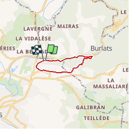

7.3 km | 8.5 km-effort


User


FREE GPS app for hiking
 SityTrail
IGN / Geographical institutes
SityTrail World
The world is yours!
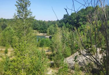
Trail Walking of 7.2 km to be discovered at Occitania, Tarn, Castres. This trail is proposed by tracegps.
Boucle empruntant le chemin des Fontaines et longeant sur une partie du parcours l'Agout. Certaines portions du chemin sont à pratiquer par temps sec.
On foot
Walking
Walking

Mountain bike


Walking
Walking