


23 km | 26 km-effort

User


FREE GPS app for hiking
 SityTrail
IGN / Geographical institutes
SityTrail World
The world is yours!
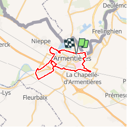
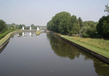
Trail Mountain bike of 19.1 km to be discovered at Hauts-de-France, Nord, Armentières. This trail is proposed by tracegps.
Circuit proposé par l’Office de tourisme d'Armentières. Départ du complexe sportif Léo Lagrange à Armentières. Vous pouvez obtenir le plan et le descriptif du parcours auprès de l’Office de Tourisme
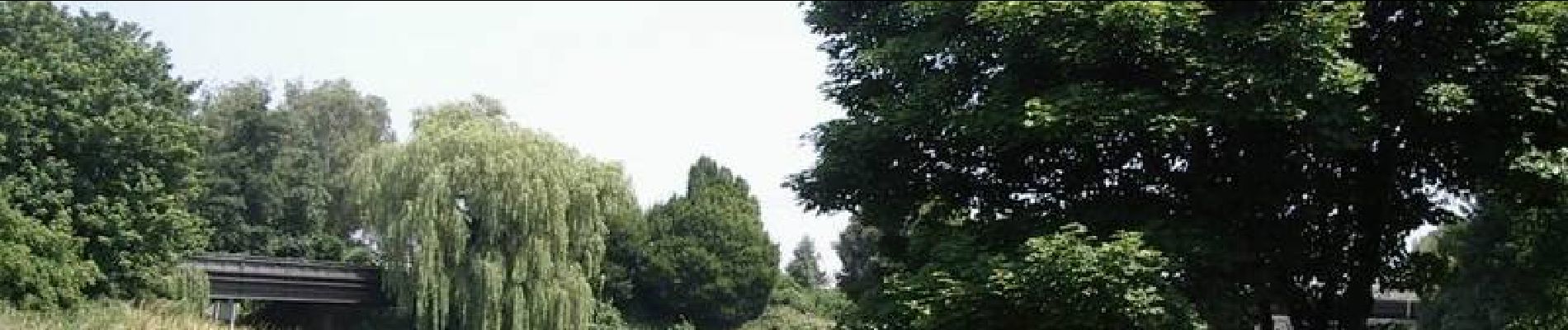
 - Armentières - Photo 1")
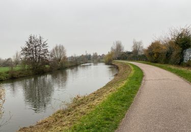
 - Armentières - Photo 2")
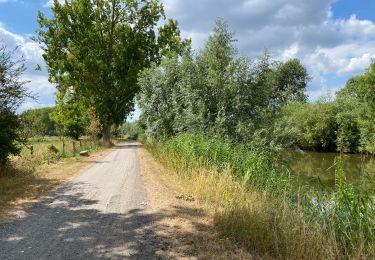
 - Armentières - Photo 3")
 - Armentières - Photo 4")
 - Armentières - Photo 5")
 - Armentières - Photo 6")

Walking

Walking
Walking

Walking
Walking

Walking

Mountain bike

Walking
Mountain bike