


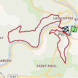

14 km | 19.4 km-effort


User


FREE GPS app for hiking
 SityTrail
IGN / Geographical institutes
SityTrail World
The world is yours!
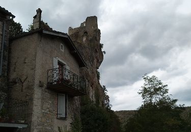
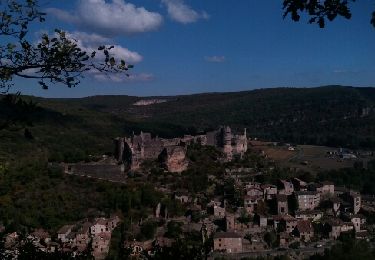
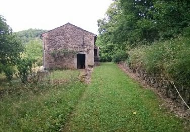
Trail Walking of 14.2 km to be discovered at Occitania, Tarn, Penne. This trail is proposed by pidjam.
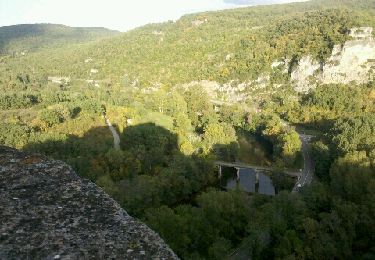
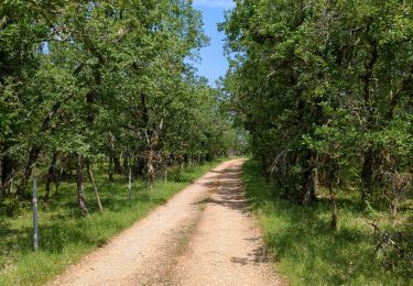
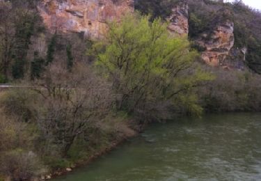
De quoi passer une belle journée dans ce site exceptionnel. La rando du matin passe près de la propriété de l'Ermitage puis suit l'Aveyron avant de monter sur le causse. Pique-bique à Penne, puis l(après midi rando sur le belvédère (attention, le chemin est étroit et peut être glissant selon l'humidité)
Walking
Walking
Mountain bike
Walking
Walking

Mountain bike
Mountain bike
Mountain bike