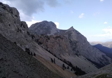
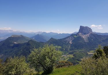
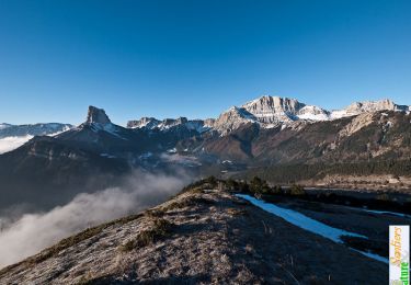
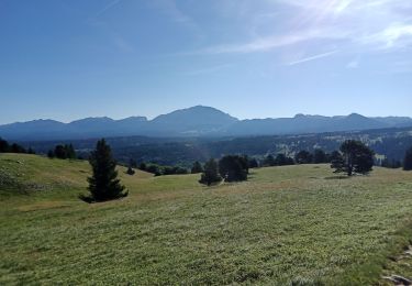
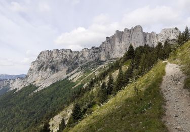
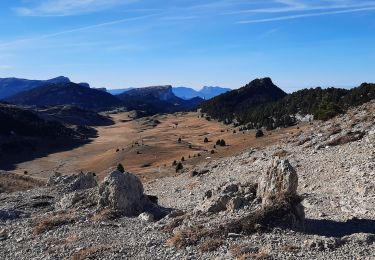
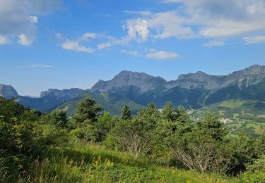
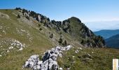
Trail Walking Saint-Michel-les-Portes - Le Sommet (crête) de Peyre Rouge, 1960m - Photo

Le Sommet (crête) de Peyre Rouge, 1960m

 tracegps
tracegps

User

© OpenStreetMap contributors
Length
Length
12.3 km
Max alt
Max alt
1966 m
Uphill gradient
Uphill gradient
889 m
Km-Effort
Km-Effort  
24 km
Min alt
Min alt
1129 m
Downhill gradient
Downhill gradient
889 m
Boucle
Boucle
Yes
Creation date :
2014-12-10 00:00:00.0
Updated on :
2014-12-10 00:00:00.0

(0 Reviews)

Walking
Walking
5h15
Difficulty : Medium

Scan this QR Code to open this trail in the SityTrail application

FREE GPS app for hiking

Logo SityTrail SityTrail

IGN / Geographical institutes

Download SityTrail from the App Store Download SityTrail from Google Play

Logo SityTrail SityTrail World

The world is yours!

Download SityTrail from the App Store Download SityTrail from Google Play Download SityTrail on Huawei AppGallery

About

Trail Walking of 12.3 km to be discovered at Auvergne-Rhône-Alpes, Isère, Saint-Michel-les-Portes. This trail is proposed by tracegps.

Description

La randonnée offre un parcours unique à travers un paysage préservé, sauvage et peu fréquenté entre le Mont Aiguille et le Grand Veymont. Depuis la Bathie, parking de la route forestière de Font Rousse, le Pas de la Selle donne accès au Sommet de Montaveilla. C'est le point de départ d'une boucle qui suit le bord du plateau au Sud du Sommet de Peyre Rouge. La descente du Pas des Bachassons complète le circuit agréable à travers un site exceptionnel du Vercors Sud. Description complète sur sentier-nature.com : Le Sommet (crête) de Peyre Rouge, 1960m Avertissement [Orientation 1/3]. Certains passages de cet itinéraire de montagne sont escarpés et/ou exposés, il est déconseillé aux enfants non accompagnés et aux personnes sujettes au vertige. Pour votre sécurité, nous vous invitons à respecter les règles suivantes : être bien chaussé, ne pas s'engager par mauvais temps, ne pas s'écarter de l'itinéraire ni des sentiers – Attention au brouillard !

Elevation profile

Photos

Positioning

Country:
France
Region :
Auvergne-Rhône-Alpes
Department/Province :
Isère
Municipality :
Saint-Michel-les-Portes
Location:
Unknown
Start:(UTM)
702079 ; 4970351 (31T) N.

Trails nearby

Trail Walking Saint-Michel-les-Portes - Grand Ceymont par la face Sud - Photo
Walking
GUIDE
nadd73

Walking

Difficult
(1)
Saint-Michel-les-Portes, Auvergne-Rhône-Alpes, Isère, France
14.3 km | 31 km-effort
6h 0min
Yes
Trail Walking Gresse-en-Vercors - Quinquambaye - crête du Brisou - Photo
Walking
patjobou

Walking

Medium
(1)
Gresse-en-Vercors, Auvergne-Rhône-Alpes, Isère, France
12.1 km | 23 km-effort
6h 28min
Yes
Trail Walking Gresse-en-Vercors - Traversée du Rocher du Baconnet - Photo
Walking
tracegps

Walking

Easy
(2)
Gresse-en-Vercors, Auvergne-Rhône-Alpes, Isère, France
10.7 km | 18.9 km-effort
5h 0min
Yes
Trail Walking Gresse-en-Vercors - traversée Sud nord du Grand Veymont  - Photo
Walking
GUIDE
nadd73

Walking

Difficult
Gresse-en-Vercors, Auvergne-Rhône-Alpes, Isère, France
26 km | 40 km-effort
10h 42min
No
Trail Walking Chichilianne - 14923554-Tour du Mont Aiguille - Photo
Walking
Maryma

Walking

Very difficult
(1)
Chichilianne, Auvergne-Rhône-Alpes, Isère, France
17.7 km | 33 km-effort
7h 27min
Yes
Trail Walking Saint-Michel-les-Portes - Tour du Mont  Aiguille - Photo
Walking
GUIDE
donda

Walking

Difficult
Saint-Michel-les-Portes, Auvergne-Rhône-Alpes, Isère, France
18.5 km | 34 km-effort
6h 20min
Yes
Trail Walking Gresse-en-Vercors - le grand veymont  depuis gresse en vercors et par le pas de la ville - Photo
Walking
aztec

Walking

Medium
(1)
Gresse-en-Vercors, Auvergne-Rhône-Alpes, Isère, France
10.9 km | 25 km-effort
4h 53min
Yes
Trail Walking Saint-Michel-les-Portes - Pas de Bachassons et de la Selle - Photo
Walking
GuyVachet

Walking

Very difficult
Saint-Michel-les-Portes, Auvergne-Rhône-Alpes, Isère, France
13.1 km | 26 km-effort
7h 36min
Yes
Trail Walking Gresse-en-Vercors - Pas de Serpaton et crêtes, de Gresse en Vercors - Photo
Walking
GrouGary

Walking

Medium
Gresse-en-Vercors, Auvergne-Rhône-Alpes, Isère, France
12.9 km | 22 km-effort
5h 19min
Yes


Close
My subscriptions