


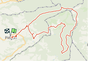

28 km | 36 km-effort


User


FREE GPS app for hiking
 SityTrail
IGN / Geographical institutes
SityTrail World
The world is yours!
Trail Walking of 15.5 km to be discovered at Auvergne-Rhône-Alpes, Drôme, Piégon. This trail is proposed by tracegps.
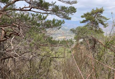
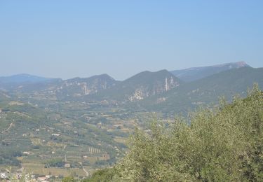
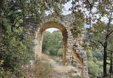
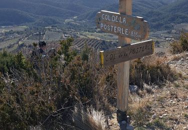
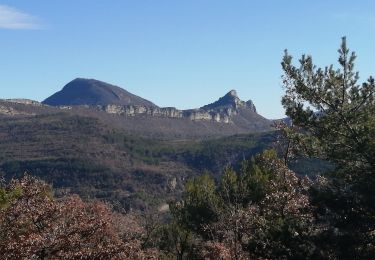
Rando course avec dénivelé respectable, au départ de Piegon. Montée parmi les pins et les chênes verts, par un chemin agréable. Après l'arrivée au sommet, descente parmi les vignes et les abricotiers. Nombreux points de vue sur les massifs des Baronnies et le Ventoux,

Road bike
Walking
Walking

Walking

Walking

Walking
Walking
Walking
Walking