


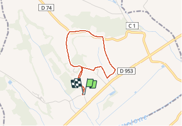

9.4 km | 12.2 km-effort


User


FREE GPS app for hiking
 SityTrail
IGN / Geographical institutes
SityTrail World
The world is yours!
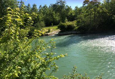
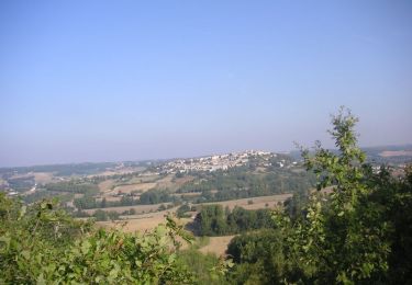
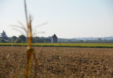
Trail Walking of 3.1 km to be discovered at Occitania, Tarn-et-Garonne, Saint-Clair. This trail is proposed by tracegps.
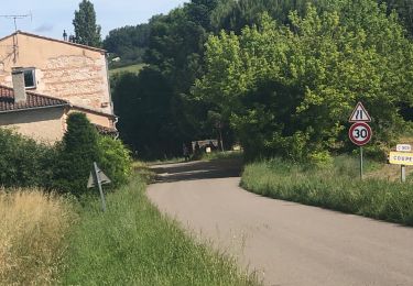
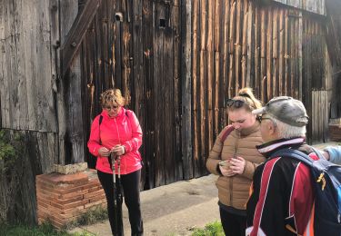
Départ de l'église les Agnès; l'église se trouve sur les coteaux nord de la D953 (Valence-Cahors) entre le croisement de Gasques (D46) et le croisement de St Clair- St Paul (D74)

sport

sport
sport
sport
sport
sport
Mountain bike
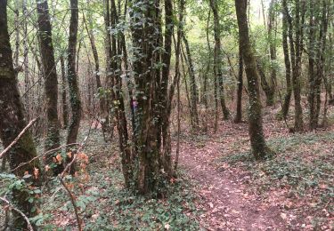
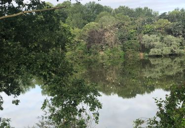
Walking

sport