


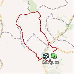

9.4 km | 12.2 km-effort


User


FREE GPS app for hiking
 SityTrail
IGN / Geographical institutes
SityTrail World
The world is yours!
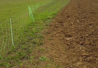
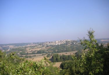
Trail Walking of 7.6 km to be discovered at Occitania, Tarn-et-Garonne, Gasques. This trail is proposed by tracegps.
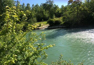
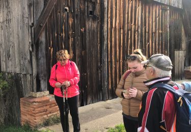
Se garer sur le parking de la salle des fêtes, derrière l'église. Revenir vers le panneau d'entrée du village (D46) et le splendide gîte de la Grange au Chêne. Prendre à droite.

sport

sport
sport
sport
sport
sport
Walking

Walking
Mountain bike