


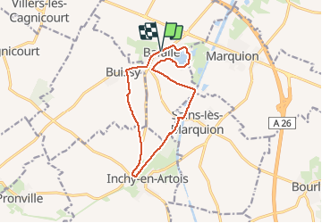

22 km | 25 km-effort


User


FREE GPS app for hiking
 SityTrail
IGN / Geographical institutes
SityTrail World
The world is yours!
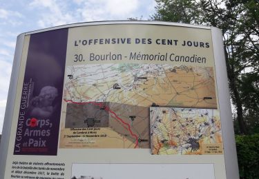
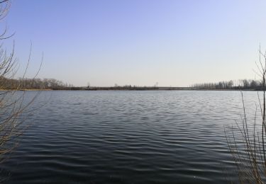
Trail Walking of 11.2 km to be discovered at Hauts-de-France, Pas-de-Calais, Baralle. This trail is proposed by tracegps.
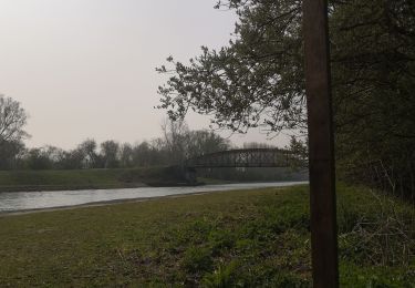
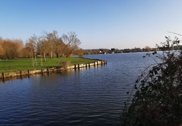
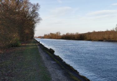
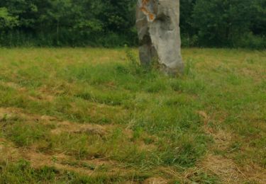
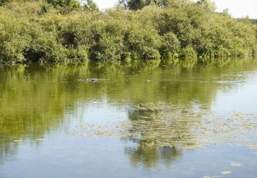
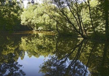
Agréable randonnée qui fait le tour du marais de Baralle et longe le Canal du Nord.

On foot
Walking
Walking
Walking
Walking
Walking
Walking
Walking
Walking