


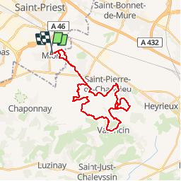

17.1 km | 23 km-effort


User


FREE GPS app for hiking
 SityTrail
IGN / Geographical institutes
SityTrail World
The world is yours!
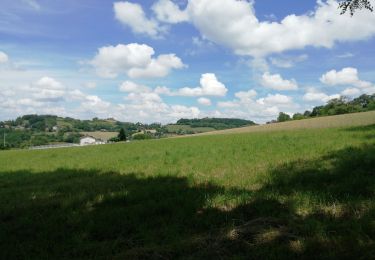
Trail Mountain bike of 30 km to be discovered at Auvergne-Rhône-Alpes, Métropole de Lyon, Mions. This trail is proposed by tracegps.
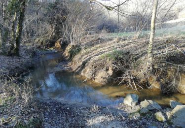
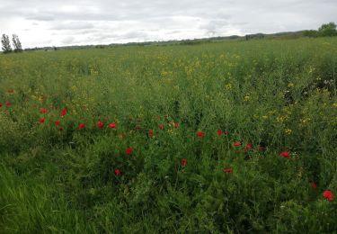
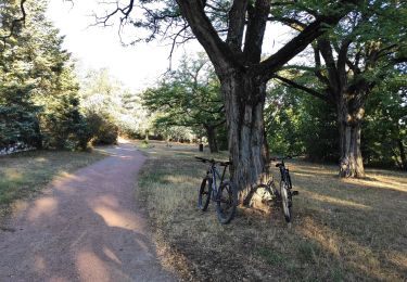
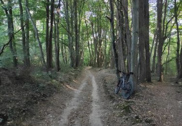
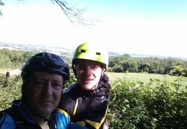
Parcours très ludique où je me suis efforcé de suivre les rives de l'Ozon, amenant ainsi un pilotage très plaisant et varié. Avec de beaux singles dans les bois environnants et de nouveaux chemins insoupçonnés dans se secteur des Mamelons de Saint Pierre de Chandieu. A faire dans le sens inverse des aiguilles d'une montre.
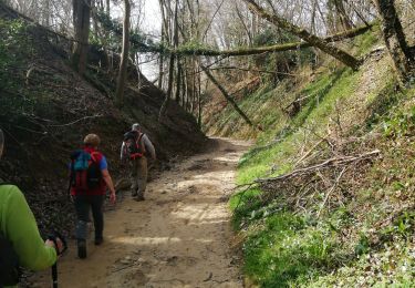
Walking
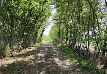
Mountain bike

Mountain bike
Walking
Walking
Hybrid bike
Mountain bike
Mountain bike
Walking