


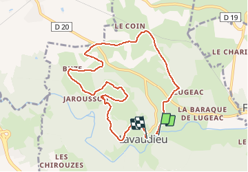

7.2 km | 8.6 km-effort


User


FREE GPS app for hiking
 SityTrail
IGN / Geographical institutes
SityTrail World
The world is yours!
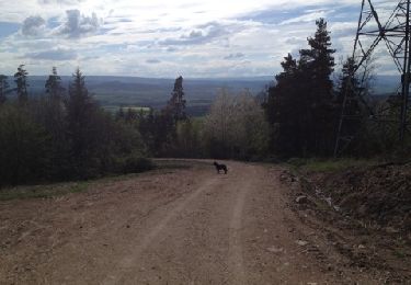
Trail Walking of 9.5 km to be discovered at Auvergne-Rhône-Alpes, Haute-Loire, Lavaudieu. This trail is proposed by tracegps.
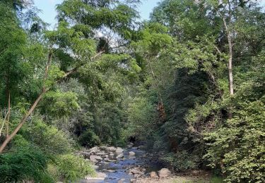
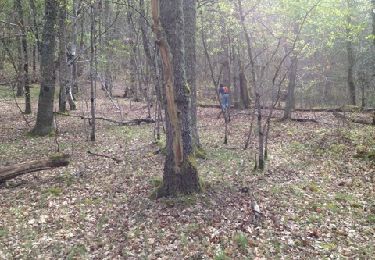
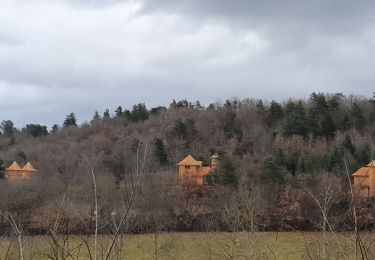
Cette belle balade nous permettra de découvrir l'un des plus beaux villages de France et son abbaye romane, ayant le seul cloître intact d'Auvergne. Nous longerons également les rives de la Sénouire.


Walking
Walking
Walking
Walking
Mountain bike
Walking

Horseback riding

Walking
Walking