


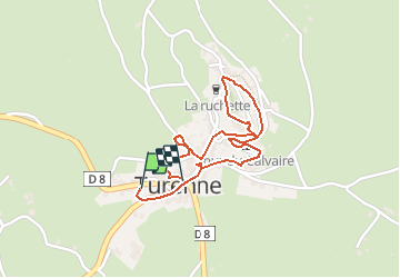

17.7 km | 23 km-effort

User


FREE GPS app for hiking
 SityTrail
IGN / Geographical institutes
SityTrail World
The world is yours!
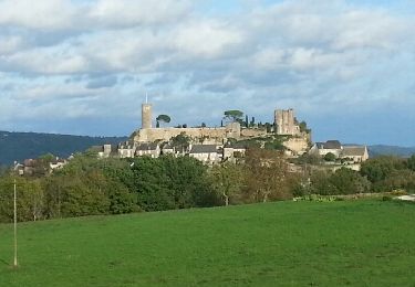
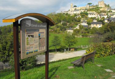
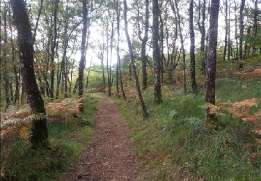
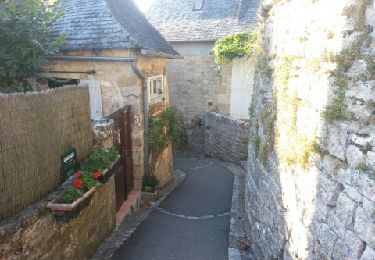
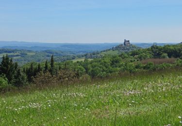
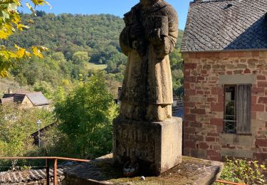
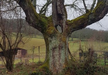
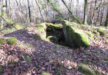
Trail Walking of 1.8 km to be discovered at New Aquitaine, Corrèze, Turenne. This trail is proposed by tracegps.
Venez découvrir un des plus beaux villages de France non loin de Brive-la-Gaillarde au cours de cette balade sympathique et accessible à tous. Profitez de la proximité de villages magnifiques comme Collonges-la-Rouge, Meyssac ou Noailhac pour y aller flâner...


Walking
Mountain bike
Walking
Walking
Walking

Walking
Walking
Walking
Walking