44 km | 50 km-effort
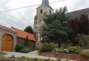
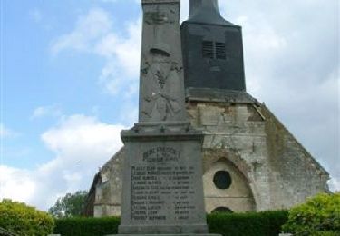
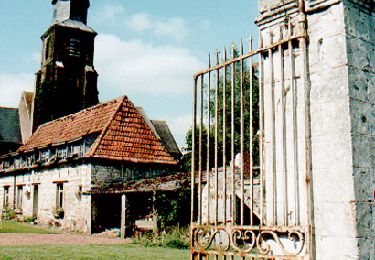
Lignereuil - Givenchy - Beaufort - Blavincourt Denier
tracegps
User
Length
11 km
Max alt
154 m
Uphill gradient
112 m
Km-Effort
12.4 km
Min alt
110 m
Downhill gradient
113 m
Boucle
Yes
Creation date :
2014-12-10 00:00:00.0
Updated on :
2014-12-10 00:00:00.0
2h00
Difficulty : Medium
FREE GPS app for hiking
About
Trail Walking of 11 km to be discovered at Hauts-de-France, Pas-de-Calais, Lignereuil. This trail is proposed by tracegps.
Positioning
Country:
France
Region :
Hauts-de-France
Department/Province :
Pas-de-Calais
Municipality :
Lignereuil
Location:
Unknown
Start:(Dec)
Start:(UTM)
462474 ; 5571007 (31U) N.
Comments
Trails nearby
Les 6 châteaux - Avesnes le Comte
Mountain bike
Difficult
(1)
Avesnes-le-Comte,
Hauts-de-France,
Pas-de-Calais,
France
2h 10min
Yes
Chemin des piedsentes (Penin)
Walking
Difficult
Penin,
Hauts-de-France,
Pas-de-Calais,
France
14.5 km | 15.7 km-effort
3h 40min
Yes
Le sentier du loup (Berlencourt-le-cauroy)
Walking
Difficult
Berlencourt-le-Cauroy,
Hauts-de-France,
Pas-de-Calais,
France
15.2 km | 17.3 km-effort
3h 45min
Yes
LIGNEREUIL (62) - Par le bois du Fay
Walking
Difficult
Lignereuil,
Hauts-de-France,
Pas-de-Calais,
France
12.1 km | 13.5 km-effort
3h 4min
Yes
Avesnes le Comte, Noyelle-Vion, Manin, Beaufort-Blavincourt
Walking
Medium
Avesnes-le-Comte,
Hauts-de-France,
Pas-de-Calais,
France
10.8 km | 12.2 km-effort
2h 30min
Yes
Givenchy le Noble - Ambrines - Denier - Lignereuil
Walking
Medium
Givenchy-le-Noble,
Hauts-de-France,
Pas-de-Calais,
France
11 km | 12.5 km-effort
2h 0min
Yes
Lignereuil Allée des tilleuls - Blavincourt - Denier
Walking
Medium
Lignereuil,
Hauts-de-France,
Pas-de-Calais,
France
11.2 km | 12.7 km-effort
2h 0min
Yes
Les six châteaux
Mountain bike
Medium
Avesnes-le-Comte,
Hauts-de-France,
Pas-de-Calais,
France
44 km | 50 km-effort
Unknown
Yes
Berlencourt/Lucheux 23Kms Dén P 266m
Walking
Medium
Berlencourt-le-Cauroy,
Hauts-de-France,
Pas-de-Calais,
France
23 km | 27 km-effort
5h 49min
No