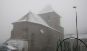
Trail Walking Arvieu - Saint Martin des Faux - Photo

Saint Martin des Faux

 tracegps
tracegps

User

© OpenStreetMap contributors
Length
Length
21 km
Max alt
Max alt
977 m
Uphill gradient
Uphill gradient
503 m
Km-Effort
Km-Effort  
27 km
Min alt
Min alt
812 m
Downhill gradient
Downhill gradient
497 m
Boucle
Boucle
Yes
Creation date :
2014-12-10 00:00:00.0
Updated on :
2014-12-10 00:00:00.0

(1 Reviews)

Walking
Walking
6h30
Difficulty : Medium

Scan this QR Code to open this trail in the SityTrail application

FREE GPS app for hiking

Logo SityTrail SityTrail

IGN / Geographical institutes

Download SityTrail from the App Store Download SityTrail from Google Play

Logo SityTrail SityTrail World

The world is yours!

Download SityTrail from the App Store Download SityTrail from Google Play Download SityTrail on Huawei AppGallery

About

Trail Walking of 21 km to be discovered at Occitania, Aveyron, Arvieu. This trail is proposed by tracegps.

Description

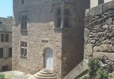
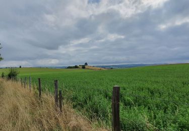
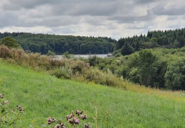
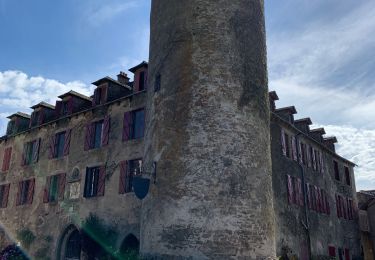
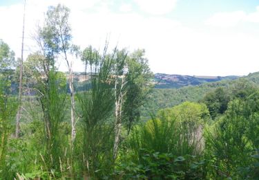
Rendez vous au village de St Martin des Faux prés du Lac de Pareloup. Ce circuit de 20 km vous emmènera à la Tour de Peyrebrune en vous offrant de splendides panoramas sans obstacle. Circuit pour les amateurs de grands espaces, vous dominerez le lac de Pareloup puis celui de Villefranche de Panat. Prévoir eau et ravitaillement car il y a peu d'habitations sur le parcours.

Elevation profile

Photos

Positioning

Country:
France
Region :
Occitania
Department/Province :
Aveyron
Municipality :
Arvieu
Location:
Unknown
Start:(UTM)
478886 ; 4891474 (31T) N.

Comments

Please log in to post a review or rate the element


une partie de cette rando est impossible, elle traverse un paturage sans chemin, et ferme par un rangé de barbelés. il est possible de contourner cette section en suivant un chemin. A l altitude 944, prendre le chemin qui permet d atteindre le village de Lacan parcouru fin août 2024


Trails nearby

Trail Mountain bike Canet-de-Salars - J6 - Photo
Mountain bike
virginieHurpeau

Mountain bike

Medium
(1)
Canet-de-Salars, Occitania, Aveyron, France
21 km | 25 km-effort
1h 25min
Yes
Trail Walking Salles-Curan - La vierge des lacs Salles Curan - Photo
Walking
tercla

Walking

Easy
(1)
Salles-Curan, Occitania, Aveyron, France
8.5 km | 11.3 km-effort
2h 14min
Yes
Trail Walking Salles-Curan - La Vierge des lacs - Pareloup - Photo
Walking
FRayssac

Walking

Medium
Salles-Curan, Occitania, Aveyron, France
4.5 km | 6.1 km-effort
1h 10min
Yes
Trail Walking Canet-de-Salars - Tour du lac de la Gourde - Photo
Walking
FRayssac

Walking

Easy
Canet-de-Salars, Occitania, Aveyron, France
4.4 km | 5.5 km-effort
1h 11min
Yes
Trail Walking Salles-Curan - Randonnée des Éoliennes  - Photo
Walking
Rere1947

Walking

Difficult
Salles-Curan, Occitania, Aveyron, France
13.9 km | 18.2 km-effort
3h 25min
Yes
Trail Mountain bike Arvieu - Le Lévézou - Notre Dame d'Aures - Photo
Mountain bike
tracegps

Mountain bike

Very difficult
(1)
Arvieu, Occitania, Aveyron, France
35 km | 47 km-effort
5h 0min
Yes
Trail Walking Salles-Curan - Autour de SALLES CURAN - Photo
Walking
Dominique48

Walking

Medium
Salles-Curan, Occitania, Aveyron, France
13.8 km | 18.2 km-effort
5h 16min
Yes
Trail Canoe - kayak Canet-de-Salars - lac de pareloup cote ouest - Photo
Canoe - kayak
damien7307

Canoe - kayak

Medium
Canet-de-Salars, Occitania, Aveyron, France
21 km | 21 km-effort
4h 19min
Yes
Trail Canoe - kayak Canet-de-Salars - Lac de Pareloup côté est - Photo
Canoe - kayak
damien7307

Canoe - kayak

Medium
Canet-de-Salars, Occitania, Aveyron, France
21 km | 22 km-effort
4h 0min
Yes


Close
My subscriptions