


26 km | 36 km-effort


User


FREE GPS app for hiking
 SityTrail
IGN / Geographical institutes
SityTrail World
The world is yours!
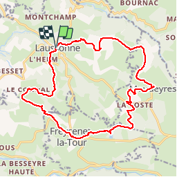
Trail Walking of 20 km to be discovered at Auvergne-Rhône-Alpes, Haute-Loire, Laussonne. This trail is proposed by tracegps.
La ferme des frères Perrel a été classée monument historique maison de pays en 1977. Elle porte ce nom car les quatre frères Perrel ont été les derniers propriétaires de la ferme. Une dizaine de générations ont vécu dans cette ferme traditionnelle. Elle a donc été habitée de 1750 à 1974. Cette chaumière a été conservée telle que les frères l’ont laissée à leur départ. Ces quatre frères vivaient comme leurs ancêtres et ont conservé tous les objets du quotidien. N’ayant aucune descendance, les frères y ont tout laissé : outils, linge, meubles, vaisselle, photos… (source leveil.fr)
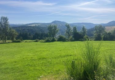
Walking
Walking

Walking
Walking
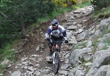
Mountain bike
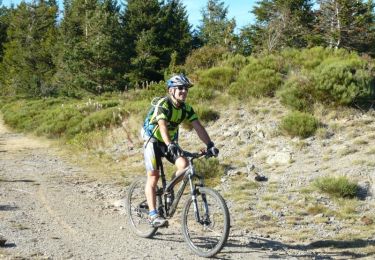
Mountain bike
Mountain bike

Mountain bike
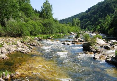
Trail