


12.1 km | 15.7 km-effort


User


FREE GPS app for hiking
 SityTrail
IGN / Geographical institutes
SityTrail World
The world is yours!
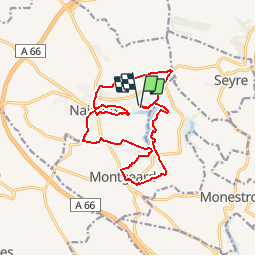
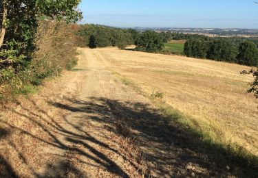
Trail Mountain bike of 16 km to be discovered at Occitania, Haute-Garonne, Nailloux. This trail is proposed by tracegps.
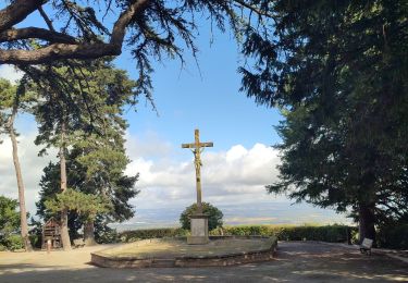
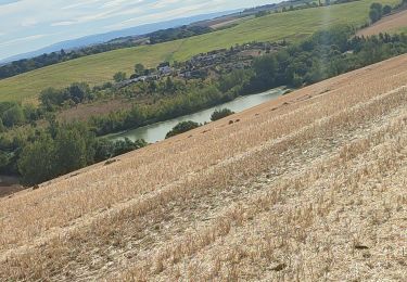
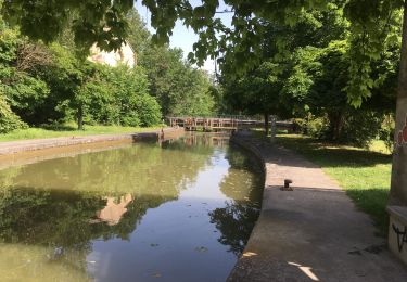
Circuit au départ du lac, à l'opposé de la Ferme de Champreux. Il fait le tour du lac en grande partie, puis rejoint Montgeard par les coteaux. Il redescend sur le lac et rejoins le village de Nailloux pour partir sur les versants opposé au lac puis rejoindre le point de départ en passant de nouveau par les rives du lac. Bonne balade.

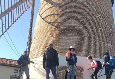
Walking
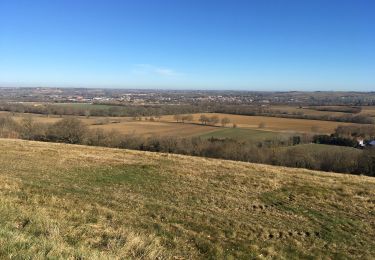
Walking
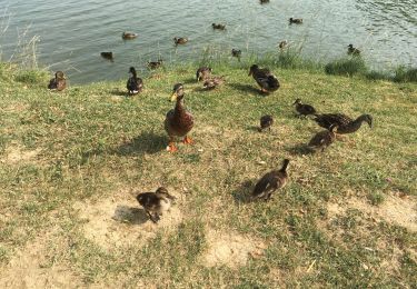
Walking
Walking
Walking
Walking
Walking
Walking