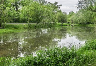
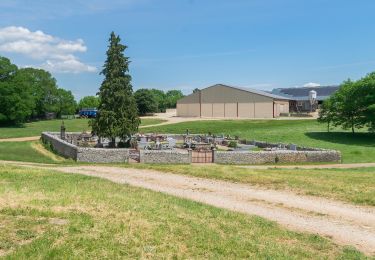
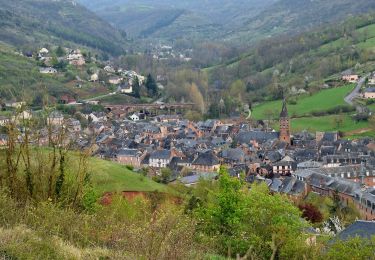
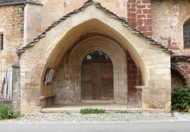
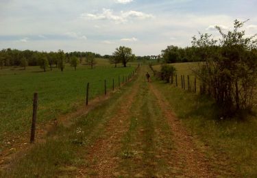
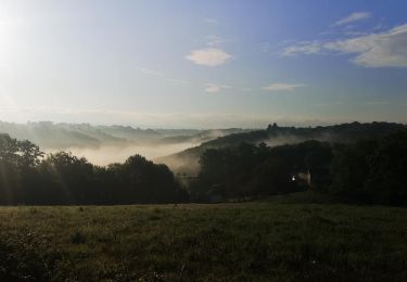
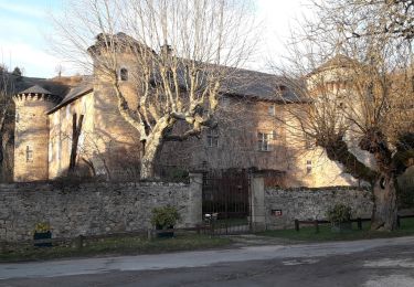
Trail Walking Salles-la-Source - Salles la Source - Pont les Bains - Photo

Salles la Source - Pont les Bains

 tracegps
tracegps

User

© OpenStreetMap contributors
Length
Length
15.8 km
Max alt
Max alt
563 m
Uphill gradient
Uphill gradient
553 m
Km-Effort
Km-Effort  
23 km
Min alt
Min alt
312 m
Downhill gradient
Downhill gradient
553 m
Boucle
Boucle
Yes
Creation date :
2014-12-10 00:00:00.0
Updated on :
2014-12-10 00:00:00.0

(1 Reviews)

Walking
Walking
4h30
Difficulty : Difficult

Scan this QR Code to open this trail in the SityTrail application

FREE GPS app for hiking

Logo SityTrail SityTrail

IGN / Geographical institutes

Download SityTrail from the App Store Download SityTrail from Google Play

Logo SityTrail SityTrail World

The world is yours!

Download SityTrail from the App Store Download SityTrail from Google Play Download SityTrail on Huawei AppGallery

About

Trail Walking of 15.8 km to be discovered at Occitania, Aveyron, Salles-la-Source. This trail is proposed by tracegps.

Description

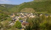
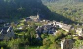
Amis randonneurs bonjour. Aujourd'hui je vous propose une petite balade d'environ 16 km, le parking randonneurs se situe dans le haut de Salles la source à côté de l'église, ça tombe très bien c'est de là que nous allons partir. Randonnée sans difficulté particulière mais quand même avec un dénivelé qui avoisine les 900 m. Elle sera assez difficile pour certains, surtout après Pont les Bains où il y a une petite grimpette de près de 2 km et on est content d'arriver en haut. Dans l'ensemble bon chemin, joli sentier, un peu de petites routes, pas désagréable pour moi qui déteste marcher sur le goudron!! Mais quand on n'a pas le choix tant pis!! Cette randonnée est en grande partie balisé en jaune, à l'origine elle est donnée pour 12 kilomètres, et comme je l'ai rallongé un peu vous aurez des morceaux non balisés mais sur des sentiers bien tracés et avec le GPS aucun risque de se perdre. Je joins le lien vers PICASA où j'ai mis les photos de la randonnée une quarantaine, normalement ça marche. Bonne balade.

Elevation profile

Photos

Points of interest

Point of interest Salles-la-Source - arrivé - Photo
tracegps
SALLES-LA-SOURCE 
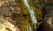
Point of interest Salles-la-Source - cascade - Photo
tracegps
SALLES-LA-SOURCE 
Point of interest Salles-la-Source - cascade de laroque - Photo
tracegps
SALLES-LA-SOURCE 
Point of interest Salles-la-Source - cougousse - Photo
tracegps
SALLES-LA-SOURCE 
Point of interest Salles-la-Source - départ - Photo
tracegps
SALLES-LA-SOURCE 
Point of interest Salles-la-Source - salles la source - Photo
tracegps
SALLES-LA-SOURCE 
Point of interest Salles-la-Source - Salles-la-Source - Photo
tracegps
SALLES-LA-SOURCE 
Point of interest Salles-la-Source - Salles-la-Source1 - Photo
tracegps
SALLES-LA-SOURCE 

Positioning

Country:
France
Region :
Occitania
Department/Province :
Aveyron
Municipality :
Salles-la-Source
Location:
Unknown
Start:(UTM)
461518 ; 4920505 (31T) N.

Comments

Please log in to post a review or rate the element


Trails nearby

Trail On foot Onet-le-Château - Circuit 20 Vabres - Photo
On foot
GUIDE+

On foot

Easy
Onet-le-Château, Occitania, Aveyron, France
4.9 km | 5.8 km-effort
1h 18min
Yes
Trail On foot Sébazac-Concourès - Circuit 19 Onet-l'Eglise - Photo
On foot
GUIDE+

On foot

Easy
Sébazac-Concourès, Occitania, Aveyron, France
7.9 km | 9 km-effort
2h 3min
Yes
Trail On foot Sébazac-Concourès - Lo Camin de Pueg Rossel - Photo
On foot
GUIDE+

On foot

Easy
Sébazac-Concourès, Occitania, Aveyron, France
6.6 km | 7.8 km-effort
1h 46min
Yes
Trail On foot Sébazac-Concourès - Virada De Rescondudon (autour du Rescondudou) - Photo
On foot
GUIDE+

On foot

Easy
Sébazac-Concourès, Occitania, Aveyron, France
6.6 km | 7.6 km-effort
1h 44min
Yes
Trail On foot Marcillac-Vallon - De la Vigne à la Forêt - Photo
On foot
GUIDE+

On foot

Easy
Marcillac-Vallon, Occitania, Aveyron, France
10.1 km | 14.1 km-effort
3h 11min
Yes
Trail On foot Salles-la-Source - La Vallée du Créneau - Photo
On foot
GUIDE+

On foot

Easy
Salles-la-Source, Occitania, Aveyron, France
8.5 km | 11.7 km-effort
2h 39min
Yes
Trail Walking Sébazac-Concourès - Onet l'église - Limouze - Le Tindoul de la Vayssière - Photo
Walking
tracegps

Walking

Medium
(1)
Sébazac-Concourès, Occitania, Aveyron, France
16.1 km | 18.6 km-effort
4h 0min
Yes
Trail Mountain bike Onet-le-Château - Rodez Agglomeration - Liaison  C - Vabre-Sebazac  - Photo
Mountain bike
randoruthene

Mountain bike

Easy
Onet-le-Château, Occitania, Aveyron, France
6 km | 7.5 km-effort
29min
No
Trail Walking Salles-la-Source - salle la source par le Tindoul - Photo
Walking
yves12

Walking

Easy
Salles-la-Source, Occitania, Aveyron, France
20 km | 24 km-effort
5h 12min
Yes


Close
My subscriptions