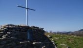

Montagne de Ciboure - Trabenea

tracegps
User

Length
8.6 km

Max alt
404 m

Uphill gradient
347 m

Km-Effort
13.3 km

Min alt
64 m

Downhill gradient
349 m
Boucle
Yes
Creation date :
2014-12-10 00:00:00.0
Updated on :
2014-12-10 00:00:00.0
1h30
Difficulty : Difficult

FREE GPS app for hiking
About
Trail Mountain bike of 8.6 km to be discovered at New Aquitaine, Pyrénées-Atlantiques, Urrugne. This trail is proposed by tracegps.
Description
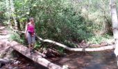
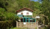
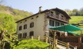
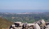
Rando sur bon sentier bien tracé. Les moins sportifs pourront éviter la montée au sommet de la montagne de Ciboure et aller se restaurer dans les ventas Zahar ou Inzola.
Positioning
Country:
France
Region :
New Aquitaine
Department/Province :
Pyrénées-Atlantiques
Municipality :
Urrugne
Location:
Unknown
Start:(Dec)
Start:(UTM)
608665 ; 4798433 (30T) N.
Comments
Trails nearby
ascain Sare ascain


Walking
Medium
(1)
Ascain,
New Aquitaine,
Pyrénées-Atlantiques,
France

18.8 km | 27 km-effort
4h 39min
Yes
Montagne de Ciboure - Trabenea


Walking
Medium
(2)
Urrugne,
New Aquitaine,
Pyrénées-Atlantiques,
France

8.6 km | 13.3 km-effort
2h 30min
Yes
Uhartea 22


Walking
Very difficult
(1)
Saint-Pée-sur-Nivelle,
New Aquitaine,
Pyrénées-Atlantiques,
France

22 km | 31 km-effort
7h 0min
Yes
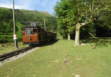
La Rhune


Walking
Medium
Sare,
New Aquitaine,
Pyrénées-Atlantiques,
France

6.7 km | 9.7 km-effort
2h 18min
No

rhune


Walking
Medium
(1)
Urrugne,
New Aquitaine,
Pyrénées-Atlantiques,
France

11.9 km | 24 km-effort
4h 43min
Yes

64-Olhette-20110417


Mountain bike
Difficult
(2)
Urrugne,
New Aquitaine,
Pyrénées-Atlantiques,
France

33 km | 49 km-effort
3h 30min
Yes

la rhune depuis olhette


Walking
Medium
(2)
Ascain,
New Aquitaine,
Pyrénées-Atlantiques,
France

9.8 km | 20 km-effort
Unknown
Yes

Ascain_Col St Ignace


Walking
Medium
(1)
Ascain,
New Aquitaine,
Pyrénées-Atlantiques,
France

7 km | 9.3 km-effort
2h 6min
Yes
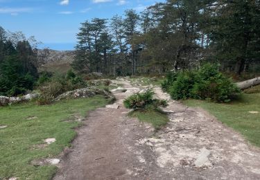
La Rhune en boucle


Walking
Difficult
Urrugne,
New Aquitaine,
Pyrénées-Atlantiques,
France

12.6 km | 24 km-effort
5h 29min
Yes


 SityTrail


