


30 km | 43 km-effort

User


FREE GPS app for hiking
 SityTrail
IGN / Geographical institutes
SityTrail World
The world is yours!
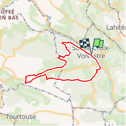
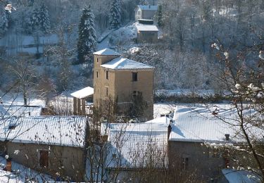
Trail Mountain bike of 13.3 km to be discovered at Occitania, Ariège, Sainte-Croix-Volvestre. This trail is proposed by tracegps.
Espace VTT FFC Couserans-Volvestre en Pyrénées - Sentier de Maharage n°02. Circuit officiel labellisé par la Fédération Française de Cyclisme. Beau parcours débutant par une partie routière montante, menant au coeur de la « Forêt Royale » du Volvestre. Faufilez-vous ensuite au travers des prés ensoleillés et de différents hameaux avant de regagner Sainte-Croix par une très belle descente. Renseignements ; • Office de Tourisme Volvestre Couserans Place de l’Espy 09230 SAINTE-CROIX VOLVESTRE - Tél. 05 61 04 60 55 // Fax 05 61 66 27 98 - ot.volvestre.ariegeois (at) wanadoo.fr • Office de Tourisme de Saint-Lizier - Place Notre dame 09190 SAINT-LIZIER - Tél. 05 61 96 77 77 - ot.saintlizier (at) wanadoo.fr

Mountain bike
Mountain bike
Walking
Mountain bike

Mountain bike
Walking
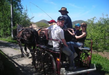
Equestrian
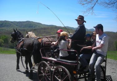
Equestrian

Walking
rando sympa mais pas mal de descente par la route dommage