


22 km | 33 km-effort

User


FREE GPS app for hiking
 SityTrail
IGN / Geographical institutes
SityTrail World
The world is yours!
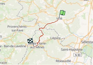
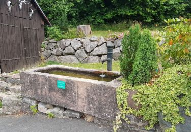
Trail Snowshoes of 25 km to be discovered at Grand Est, Bas-Rhin, Villé. This trail is proposed by tracegps.
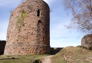
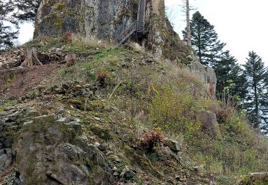
Crêtes des Vosges en hiver - Intérêt du circuit: Parcours hivernal de 6 jours (137 km) essentiellement sur les crêtes, proposant un itinéraire correctement balisé, évitant les sentiers délicats ou dangereux en période d'enneigement. Les étapes ont été établies en fonction des hébergements ouverts, peu nombreux en cette période. Il est évident que ce circuit peut se faire durant toute l'année. Étape 1 - Crêtes des Vosges en hiver – De Villé à Sainte Marie aux Mines Étape un peu longue, mais sans grande difficulté. Peu de dénivelée, douces montées ombragées. Il faut être à l'affût de tous les changements de balises car cette étape est un échantillonnage de tout ou presque ce qui existe dans les Vosges(...) La suite du récit est ICI.


Walking
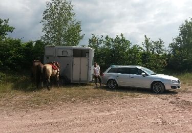
Equestrian

Mountain bike

Walking

Mountain bike
Walking
Walking
Walking
Walking