


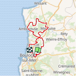

9.8 km | 11.4 km-effort


User


FREE GPS app for hiking
 SityTrail
IGN / Geographical institutes
SityTrail World
The world is yours!
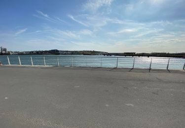
Trail Mountain bike of 50 km to be discovered at Hauts-de-France, Pas-de-Calais, Saint-Martin-Boulogne. This trail is proposed by tracegps.
Randogreen organisée par les Chats Sauvages VTT 50km, 800m de dénivelé, avec vue sur la mer. Pas de terrains privés traversés.
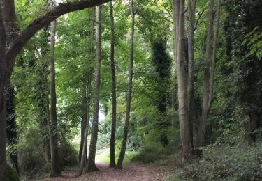
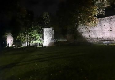
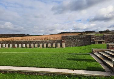
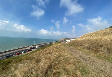
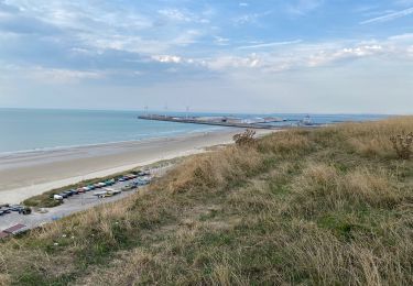
Walking
Mountain bike
Walking

Walking
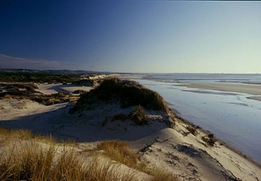
Walking
Walking
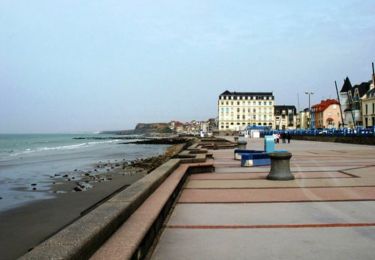
Walking
Walking
Walking