


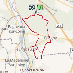

10.8 km | 13.2 km-effort

User


FREE GPS app for hiking
 SityTrail
IGN / Geographical institutes
SityTrail World
The world is yours!
Trail Walking of 13.1 km to be discovered at Ile-de-France, Seine-et-Marne, Poligny. This trail is proposed by tracegps.
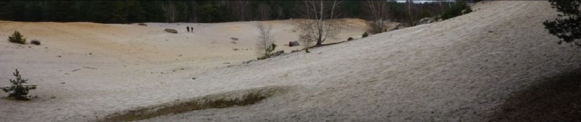
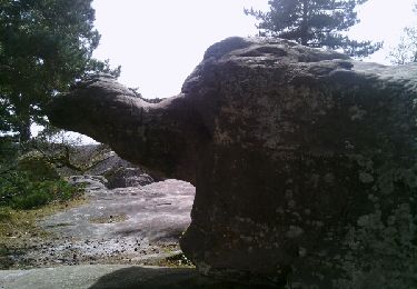
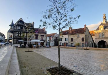
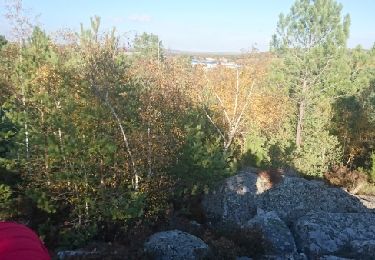
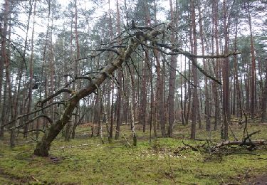
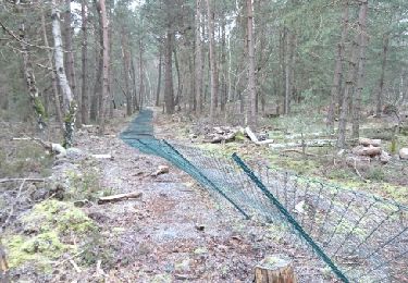
Départ du petit parking près du monastère de Bethléem, parcours en forêt jusqu'à l'ancienne carrière du Sault, ensuite parcours en campagne, ferme et hameau pour arriver à la petite falaise d'escalade de Glandelles. Passage à proximité du signal géodésique et le retour par Poligny, ses Croix, son église et plus loin les rochers de grès et la carrière dite "Mer de Sable"


Walking

On foot
Walking

Walking

Mountain bike
Other activity

Other activity
Walking
Walking