


8.5 km | 10.5 km-effort


User


FREE GPS app for hiking
 SityTrail
IGN / Geographical institutes
SityTrail World
The world is yours!
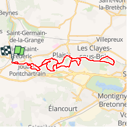
Trail Mountain bike of 31 km to be discovered at Ile-de-France, Yvelines, Villiers-Saint-Frédéric. This trail is proposed by tracegps.
Un circuit roulant et praticable en cas de conditions boueuses. Le circuit emprunte des chemins larges à travers les forêts de Saint Apolline et de Bois d’Arcy.

Walking

Walking

Walking

Walking
Walking
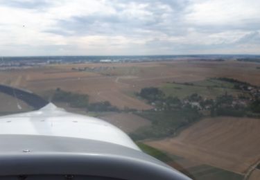
Plane
Walking
Walking