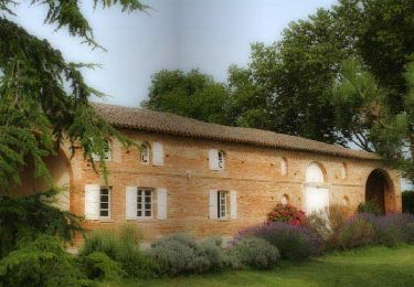
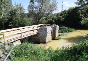
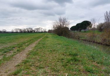
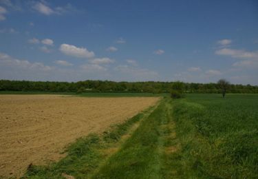
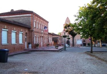
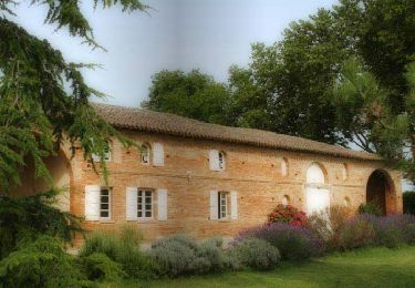
Trail Cycle Garidech - Vélo route Garidech 46km - Photo

Vélo route Garidech 46km

 tracegps
tracegps

User

© OpenStreetMap contributors
Length
Length
46 km
Max alt
Max alt
270 m
Uphill gradient
Uphill gradient
394 m
Km-Effort
Km-Effort  
51 km
Min alt
Min alt
137 m
Downhill gradient
Downhill gradient
404 m
Boucle
Boucle
Yes
Creation date :
2014-12-10 00:00:00.0
Updated on :
2014-12-10 00:00:00.0

(1 Reviews)

Cycle
Cycle
2h00
Difficulty : Medium

Scan this QR Code to open this trail in the SityTrail application

FREE GPS app for hiking

Logo SityTrail SityTrail

IGN / Geographical institutes

Download SityTrail from the App Store Download SityTrail from Google Play

Logo SityTrail SityTrail World

The world is yours!

Download SityTrail from the App Store Download SityTrail from Google Play Download SityTrail on Huawei AppGallery

About

Trail Cycle of 46 km to be discovered at Occitania, Haute-Garonne, Garidech. This trail is proposed by tracegps.

Description

Circuit au départ de Garidech; aller par la Route des Crêtes, et retour par la vallée du Girou.

Elevation profile

Positioning

Country:
France
Region :
Occitania
Department/Province :
Haute-Garonne
Municipality :
Garidech
Location:
Unknown
Start:(UTM)
384249 ; 4840417 (31T) N.

Comments

Please log in to post a review or rate the element


Très belle sortie. Bravo et merci


Trails nearby

Trail Walking Gragnague - Tour de Bonrepos Riquet - Photo
Walking
tracegps

Walking

Medium
(1)
Gragnague, Occitania, Haute-Garonne, France
9.7 km | 11.6 km-effort
2h 0min
Yes
Trail On foot Gragnague - La rondes des berges - Photo
On foot
GUIDE+

On foot

Easy
Gragnague, Occitania, Haute-Garonne, France
7.9 km | 8.5 km-effort
1h 55min
Yes
Trail Walking Gragnague - Ronde des berges Gragnagne - Photo
Walking
tabouelle

Walking

Easy
Gragnague, Occitania, Haute-Garonne, France
8 km | 8.6 km-effort
2h 38min
Yes
Trail Walking Saint-Jean - Projet TT22 au départ de St Jean - Photo
Walking

Walking

Medium
Saint-Jean, Occitania, Haute-Garonne, France
17.4 km | 19.6 km-effort
4h 0min
No
Trail Walking Saint-Jean - entre st jean et st geniès - Photo
Walking
zazibelle

Walking

Medium
Saint-Jean, Occitania, Haute-Garonne, France
7.2 km | 8.3 km-effort
1h 51min
Yes
Trail Walking Paulhac - Le Bois de Buzet - Photo
Walking
tracegps

Walking

Medium
Paulhac, Occitania, Haute-Garonne, France
7.5 km | 8.3 km-effort
2h 49min
Yes
Trail Walking Gragnague - Le Tour de Gragnague - Photo
Walking
tracegps

Walking

Medium
Gragnague, Occitania, Haute-Garonne, France
8.8 km | 9.5 km-effort
1h 45min
Yes
Trail Cycle Gragnague - Tour de Bonrepos Riquet - Photo
Cycle
tracegps

Cycle

Medium
Gragnague, Occitania, Haute-Garonne, France
9.7 km | 11.6 km-effort
1h 0min
Yes
Trail Running Lapeyrouse-Fossat - Lapeyrouse Garidech - Photo
Running
tracegps

Running

Difficult
Lapeyrouse-Fossat, Occitania, Haute-Garonne, France
14.7 km | 16.9 km-effort
1h 30min
Yes


Close
My subscriptions