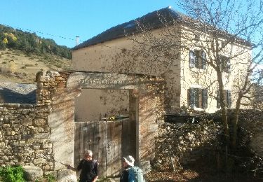
Trail Walking Dorres - Autour de Dorres - Photo
 tracegps
tracegps

User

© OpenStreetMap contributors
Length
Length
11.7 km
Max alt
Max alt
1700 m
Uphill gradient
Uphill gradient
458 m
Km-Effort
Km-Effort  
17.8 km
Min alt
Min alt
1412 m
Downhill gradient
Downhill gradient
470 m
Boucle
Boucle
Yes
Creation date :
2014-12-10 00:00:00.0
Updated on :
2014-12-10 00:00:00.0

(0 Reviews)

Walking
Walking
4h30
Difficulty : Medium

Scan this QR Code to open this trail in the SityTrail application

FREE GPS app for hiking

Logo SityTrail SityTrail

IGN / Geographical institutes

Download SityTrail from the App Store Download SityTrail from Google Play

Logo SityTrail SityTrail World

The world is yours!

Download SityTrail from the App Store Download SityTrail from Google Play Download SityTrail on Huawei AppGallery

About

Trail Walking of 11.7 km to be discovered at Occitania, Pyrénées-Orientales, Dorres. This trail is proposed by tracegps.

Description

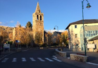
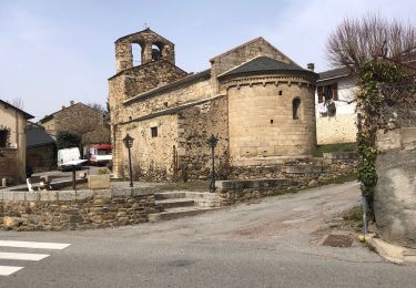
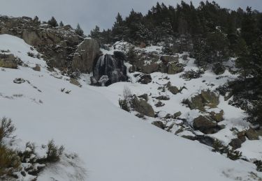
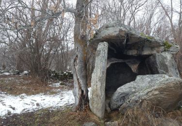
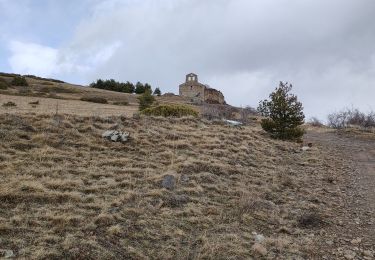
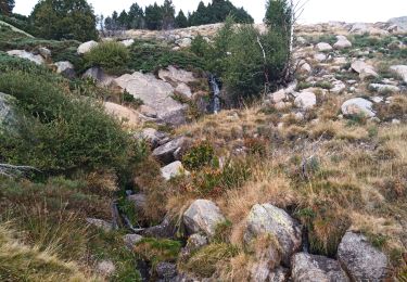
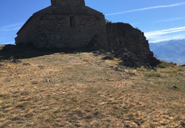
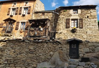
Belle balade qui part de Dorres près d'Angoustrine. La première partie se fait sur un versant sud qui domine le plateau de Cerdagne et aboutit à la chapelle Santa Maria de Belloc. La deuxième partie descend au village de Brangoli où un petit ruisseau offre une pause rafraîchissante. La troisième partie emprunte le GR Pays du Tour du Carlit. Elle conduit au point de départ en passant par les bains chauds de la source thermale de Dorres dans lesquels on pourra se prélasser.

Elevation profile

Points of interest

Point of interest Dorres - Start - Photo
tracegps
DORRES 
Point of interest Dorres - End - Photo
tracegps
DORRES 

Positioning

Country:
France
Region :
Occitania
Department/Province :
Pyrénées-Orientales
Municipality :
Dorres
Location:
Unknown
Start:(UTM)
413238 ; 4704401 (31T) N.

Trails nearby

Trail Walking Ur - de Ur vers La Chapelle de Belloc - Photo
Walking
ThonyM

Walking

Easy
(1)
Ur, Occitania, Pyrénées-Orientales, France
20 km | 28 km-effort
7h 14min
Yes
Trail Walking Estavar - 20220328 Estavar-Tartassonne(?) - Photo
Walking
ThonyM

Walking

Medium
Estavar, Occitania, Pyrénées-Orientales, France
14.8 km | 22 km-effort
3h 16min
Yes
Trail Snowshoes Dorres - 2021-02-10 Sortie CAF - Port de Maurà depuis Dorres - Photo
Snowshoes
eric.mignot

Snowshoes

Difficult
Dorres, Occitania, Pyrénées-Orientales, France
17.9 km | 31 km-effort
9h 0min
Yes
Trail Walking Dorres - 2021-02-09  Sortie  CAF - Dorres - Chapelle de Belloc - Dolmen de Brangoli - Photo
Walking
eric.mignot

Walking

Easy
Dorres, Occitania, Pyrénées-Orientales, France
13 km | 19.3 km-effort
5h 0min
Yes
Trail Walking Dorres - d'ores 2 - Photo
Walking
jpipacific

Walking

Medium
Dorres, Occitania, Pyrénées-Orientales, France
7.7 km | 11.1 km-effort
2h 46min
Yes
Trail Walking Enveitg - Bena - Photo
Walking
sereton

Walking

Medium
Enveitg, Occitania, Pyrénées-Orientales, France
11.9 km | 21 km-effort
3h 32min
No
Trail Walking Dorres - Le chemin du Belloc - Photo
Walking
merencianoep

Walking

Dorres, Occitania, Pyrénées-Orientales, France
5.6 km | 8.9 km-effort
1h 44min
No
Trail Walking Dorres - Dorres vers les estanyets - Photo
Walking
MarieFrancoise

Walking

Difficult
Dorres, Occitania, Pyrénées-Orientales, France
18 km | 30 km-effort
8h 49min
Yes
Trail Walking Ur - ur - Photo
Walking
Fildesir

Walking

Very easy
Ur, Occitania, Pyrénées-Orientales, France
18.5 km | 26 km-effort
7h 5min
No


Close
My subscriptions