


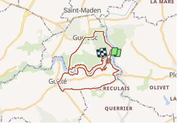

18.2 km | 21 km-effort


User


FREE GPS app for hiking
 SityTrail
IGN / Geographical institutes
SityTrail World
The world is yours!
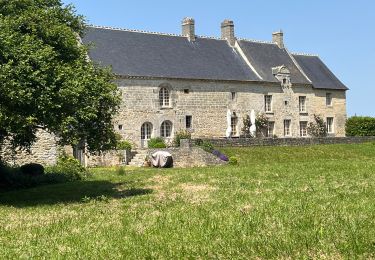
Trail Running of 18.9 km to be discovered at Brittany, Côtes-d'Armor, Guitté. This trail is proposed by tracegps.
Circuit boucle en repassant sur le pont de Beaumont : Correspondant au Trail/Rando "la ker al lann" qui se déroulera le 17 Avril 2011 par l'association "les amis du don". Renseignement au 06.80.33.73.32

Walking
On foot

Walking

Walking
Walking

Walking
Walking
Walking

Hybrid bike