


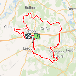

14.1 km | 15.9 km-effort

User


FREE GPS app for hiking
 SityTrail
IGN / Geographical institutes
SityTrail World
The world is yours!
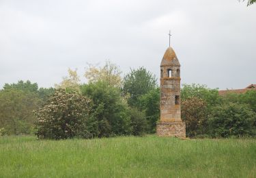
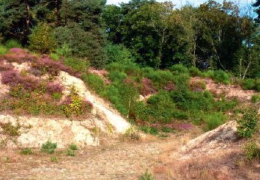
Trail Mountain bike of 40 km to be discovered at Auvergne-Rhône-Alpes, Puy-de-Dôme, Lezoux. This trail is proposed by tracegps.
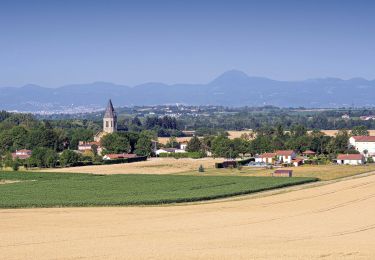
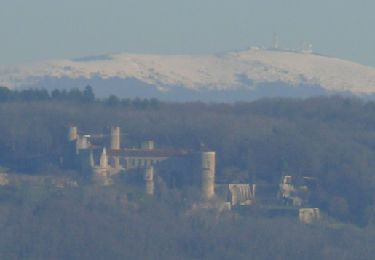
Lezoux est situé à l'est de l'Auvergne, en bordure de la plaine de la Limagne, à mi-chemin entre Clermont-Ferrand et Thiers. Terre des potiers et terre d'avenir, Lezoux est surtout connu pour avoir été, à l'époque gallo-romaine, un grand centre de fabrication et d'exportation de poteries; la tradition potière est encore présente. Le musée départemental de la céramique, actuellement en construction, sera le témoin de cette activité. (source Mairie de Lezoux)

On foot
Walking
On foot
Walking
Walking
Walking
Walking
Walking
Walking