


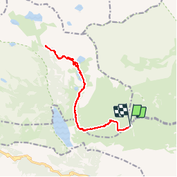

14.7 km | 22 km-effort


User


FREE GPS app for hiking
 SityTrail
IGN / Geographical institutes
SityTrail World
The world is yours!
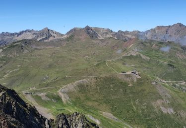
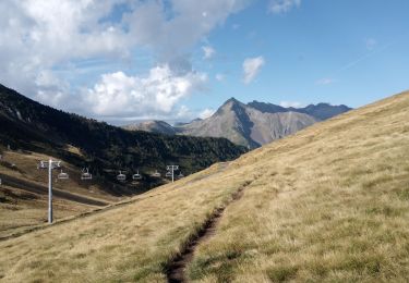
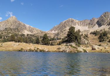
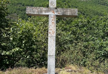
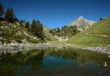
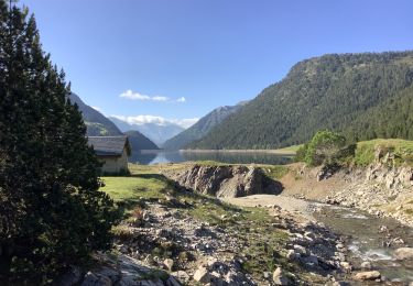
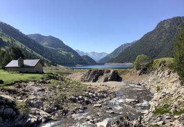
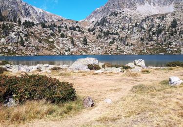
Trail Walking of 15.6 km to be discovered at Occitania, Hautespyrenees, Saint-Lary-Soulan. This trail is proposed by Rouzier.
Depuis le col de Portet (Saint- Lary)

Walking
Walking
Walking
Walking

sport
On foot
Walking
Walking
Walking