


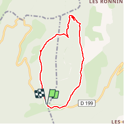

9.2 km | 14.2 km-effort

User


FREE GPS app for hiking
 SityTrail
IGN / Geographical institutes
SityTrail World
The world is yours!
Trail Walking of 7 km to be discovered at Auvergne-Rhône-Alpes, Drôme, Bouvante. This trail is proposed by tracegps.
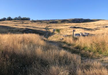
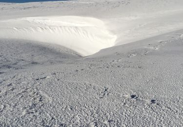
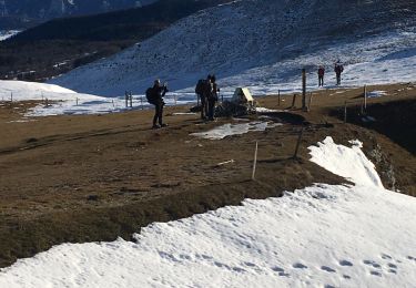
Une boucle facile au sein de la forêt du parc du Vercors. Le départ se fait à 300 m du col de Cari, côté La Chapelle en Vercors et le retour à 300 m de l'autre côté. Au départ on surplombe la combe de l'Oscence, puis passage du col du Maupas et traversée de la plaine de Caramentrand.


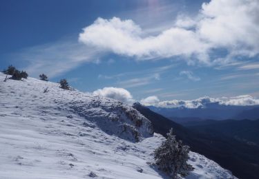
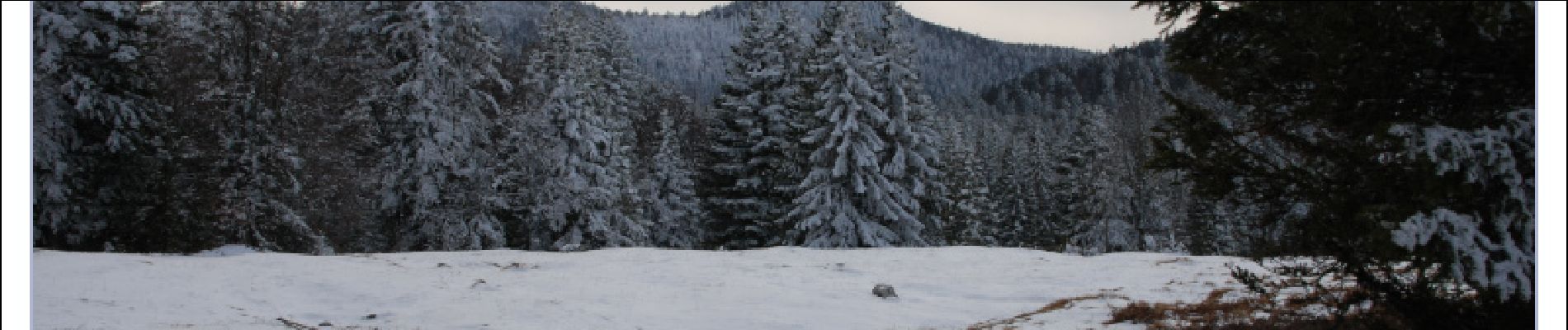
Snowshoes
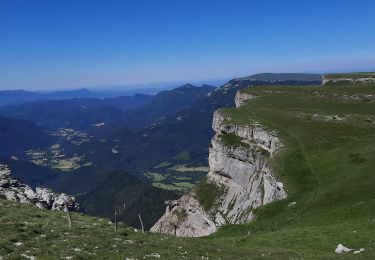
Walking
Walking
Walking
Nordic walking
Snowshoes
Snowshoes
Snowshoes
Walking