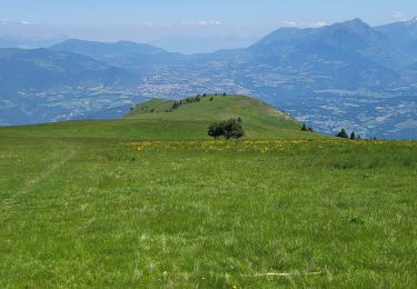
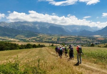
Trail Mountain bike Mens - Le Serre Vulson - Mens - Photo

Le Serre Vulson - Mens

 tracegps
tracegps

User

© OpenStreetMap contributors
Length
Length
18.7 km
Max alt
Max alt
1006 m
Uphill gradient
Uphill gradient
623 m
Km-Effort
Km-Effort  
27 km
Min alt
Min alt
743 m
Downhill gradient
Downhill gradient
628 m
Boucle
Boucle
Yes
Creation date :
2014-12-10 00:00:00.0
Updated on :
2014-12-10 00:00:00.0

(0 Reviews)

Mountain bike
Mountain bike
2h15
Difficulty : Very difficult

Scan this QR Code to open this trail in the SityTrail application

FREE GPS app for hiking

Logo SityTrail SityTrail

IGN / Geographical institutes

Download SityTrail from the App Store Download SityTrail from Google Play

Logo SityTrail SityTrail World

The world is yours!

Download SityTrail from the App Store Download SityTrail from Google Play Download SityTrail on Huawei AppGallery

About

Trail Mountain bike of 18.7 km to be discovered at Auvergne-Rhône-Alpes, Isère, Mens. This trail is proposed by tracegps.

Description

Circuit n°6 (noir) de la base VTT FFCT du Trièves. Itinéraire pas très difficile techniquement, mais assez long et qui propose une magnifique balade pour découvrir le nord du Canton de Mens, dans une ambiance sportive ... Un régal pour les vététistes confirmés. Au programme, nombreux single tracks, passages techniques et belles descentes.

Elevation profile

Positioning

Country:
France
Region :
Auvergne-Rhône-Alpes
Department/Province :
Isère
Municipality :
Mens
Location:
Unknown
Start:(UTM)
717489 ; 4966287 (31T) N.

Trails nearby

Trail Walking Mens - Bonnet  Calvin reco - Photo
Walking
Florilège

Walking

Difficult
(1)
Mens, Auvergne-Rhône-Alpes, Isère, France
10.7 km | 21 km-effort
4h 25min
No
Trail Walking Saint-Baudille-et-Pipet - Bonnet de Calvin - Photo
Walking
GUIDE
nadd73

Walking

Medium
Saint-Baudille-et-Pipet, Auvergne-Rhône-Alpes, Isère, France
15 km | 31 km-effort
6h 35min
Yes
Trail Walking Saint-Baudille-et-Pipet - Des Lames d'Arçon au Col de l'Aiguille - Photo
Walking
PapouBertrand

Walking

Very difficult
Saint-Baudille-et-Pipet, Auvergne-Rhône-Alpes, Isère, France
14.9 km | 31 km-effort
6h 56min
Yes
Trail Walking Mens - bonnet de Calvin - Photo
Walking
cmarit

Walking

Medium
Mens, Auvergne-Rhône-Alpes, Isère, France
8.3 km | 16.9 km-effort
6h 10min
Yes
Trail Walking Mens - Esclops Trièves Tour de Mens - Photo
Walking
TOULAUDIN

Walking

Easy
Mens, Auvergne-Rhône-Alpes, Isère, France
17.7 km | 26 km-effort
6h 40min
Yes
Trail Walking Saint-Baudille-et-Pipet - Esclops Trièves Col de l'Aiguille - Photo
Walking
TOULAUDIN

Walking

Difficult
Saint-Baudille-et-Pipet, Auvergne-Rhône-Alpes, Isère, France
13.3 km | 27 km-effort
5h 46min
Yes
Trail Walking Saint-Baudille-et-Pipet - Col de la l'Aiguille - Photo
Walking
Migueldefrance

Walking

Medium
Saint-Baudille-et-Pipet, Auvergne-Rhône-Alpes, Isère, France
13.3 km | 26 km-effort
4h 10min
Yes
Trail Electric bike Saint-Baudille-et-Pipet - Sainte Baudille de Pipet -  St Pancrasse - Photo
Electric bike
Patrick Sandier

Electric bike

Easy
Saint-Baudille-et-Pipet, Auvergne-Rhône-Alpes, Isère, France
34 km | 46 km-effort
3h 36min
Yes
Trail Walking Mens - bonnet de Calvin - Photo
Walking
gibello

Walking

Easy
Mens, Auvergne-Rhône-Alpes, Isère, France
9.5 km | 18.9 km-effort
4h 15min
Yes


Close
My subscriptions