


15.6 km | 17 km-effort

User


FREE GPS app for hiking
 SityTrail
IGN / Geographical institutes
SityTrail World
The world is yours!
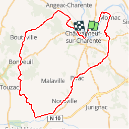
Trail Cycle of 42 km to be discovered at New Aquitaine, Charente, Châteauneuf-sur-Charente. This trail is proposed by tracegps.
Circuit proposé par Le Pays Ouest Charente et l’Office de Tourisme de Châteauneuf-sur-Charente, 2 rue du Général Leclerc. Départ de la place de la gare de Châteauneuf-sur-Charente. Retrouvez le plan du circuit sur le site du Conseil Général de Charente .
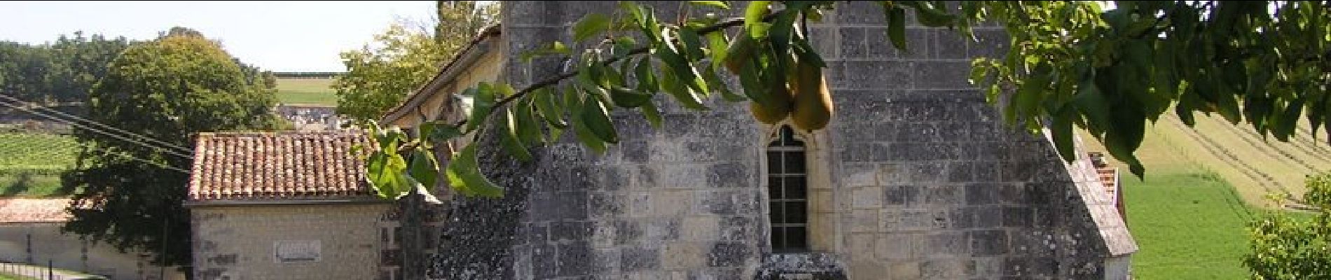
 - Châteauneuf-sur-Charente - Photo 1")
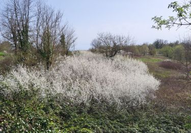
 - Châteauneuf-sur-Charente - Photo 2")
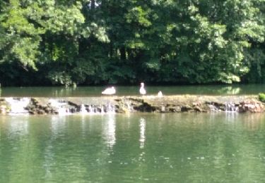
 - Châteauneuf-sur-Charente - Photo 3")
 - Châteauneuf-sur-Charente - Photo 4")
 - Châteauneuf-sur-Charente - Photo 5")
 - Châteauneuf-sur-Charente - Photo 6")

On foot

Cycle

Cycle

Other activity

Walking
Walking
Walking