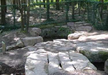
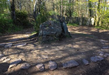
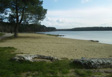
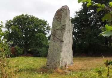
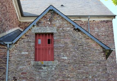
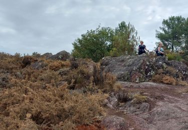
Trail Walking Plumaugat - Chemin de Loziers - Plumaugat - Photo

Chemin de Loziers - Plumaugat

 tracegps
tracegps

User

© OpenStreetMap contributors
Length
Length
7 km
Max alt
Max alt
113 m
Uphill gradient
Uphill gradient
75 m
Km-Effort
Km-Effort  
8 km
Min alt
Min alt
75 m
Downhill gradient
Downhill gradient
72 m
Boucle
Boucle
Yes
Creation date :
2014-12-10 00:00:00.0
Updated on :
2014-12-10 00:00:00.0

(0 Reviews)

Walking
Walking
1h45
Difficulty : Easy

Scan this QR Code to open this trail in the SityTrail application

FREE GPS app for hiking

Logo SityTrail SityTrail

IGN / Geographical institutes

Download SityTrail from the App Store Download SityTrail from Google Play

Logo SityTrail SityTrail World

The world is yours!

Download SityTrail from the App Store Download SityTrail from Google Play Download SityTrail on Huawei AppGallery

About

Trail Walking of 7 km to be discovered at Brittany, Côtes-d'Armor, Plumaugat. This trail is proposed by tracegps.

Description

La mairie de Plumaugat vous propose un circuit provenant de la collection « Chemin du patrimoine du Pays de Dinan ». Pour rejoindre Quesnon au départ du bourg de Plumaugat, prendre la direction de lanrelas sur environ 1 km. Une fois arrivés à ce lieu-dit; stationnez votre véhicule et descendez la route se trouvant face au bar pour rejoindre le point de départ du circuit. Au cœur de la Bretagne, ce charmant village costarmoricain vous fera découvrir par monts et par vaux ses milles et une merveilles. Retrouvez le dépliant du circuit sur le site de la mairie.

Elevation profile

Photos

Positioning

Country:
France
Region :
Brittany
Department/Province :
Côtes-d'Armor
Municipality :
Plumaugat
Location:
Unknown
Start:(UTM)
555184 ; 5344468 (30U) N.

Trails nearby

Trail Walking Saint-Malon-sur-Mel - La basse forêt de Brocéliande - Photo
Walking
neoroll44

Walking

Difficult
(2)
Saint-Malon-sur-Mel, Brittany, Ille-et-Vilaine, France
22 km | 25 km-effort
5h 35min
Yes
Trail On foot Saint-Malon-sur-Mel - A la mémoire de Merlin - Photo
On foot
GUIDE+

On foot

Easy
Saint-Malon-sur-Mel, Brittany, Ille-et-Vilaine, France
12.9 km | 15 km-effort
3h 25min
Yes
Trail On foot Iffendic - Lac et landiers de Trémelin - Photo
On foot
GUIDE+

On foot

Easy
Iffendic, Brittany, Ille-et-Vilaine, France
9.9 km | 11.4 km-effort
2h 34min
Yes
Trail On foot Iffendic - La Pierre Longue - Photo
On foot
GUIDE+

On foot

Easy
Iffendic, Brittany, Ille-et-Vilaine, France
8.3 km | 9.9 km-effort
2h 15min
Yes
Trail On foot Saint-Pern - Circuit des Châteaux - Photo
On foot
GUIDE+

On foot

Easy
Saint-Pern, Brittany, Ille-et-Vilaine, France
9.9 km | 12.2 km-effort
2h 46min
Yes
Trail On foot Muel - Muel - Le Pont Guillé - Photo
On foot
GUIDE+

On foot

Easy
Muel, Brittany, Ille-et-Vilaine, France
8.5 km | 9.7 km-effort
2h 12min
Yes
Trail On foot Iffendic - Le Tour du Lac de Trémelin - Photo
On foot
GUIDE+

On foot

Easy
Iffendic, Brittany, Ille-et-Vilaine, France
5 km | 5.5 km-effort
1h 15min
Yes
Trail Walking Saint-Malon-sur-Mel - Merlin 12.8 ip - Photo
Walking
MichelRando7656

Walking

Difficult
Saint-Malon-sur-Mel, Brittany, Ille-et-Vilaine, France
13.8 km | 15.9 km-effort
4h 1min
Yes
Trail Walking Iffendic - GR_37_CC_37_Iffendic_Plelan-le-Grand_20220821 - Photo
Walking
patrickdanilo

Walking

Easy
Iffendic, Brittany, Ille-et-Vilaine, France
22 km | 25 km-effort
5h 25min
No


Close
My subscriptions