

Sent Douron - Plouégat-Guérand

tracegps
User

Length
13.2 km

Max alt
140 m

Uphill gradient
189 m

Km-Effort
15.7 km

Min alt
32 m

Downhill gradient
188 m
Boucle
Yes
Creation date :
2014-12-10 00:00:00.0
Updated on :
2014-12-10 00:00:00.0
3h19
Difficulty : Difficult

FREE GPS app for hiking
About
Trail Walking of 13.2 km to be discovered at Brittany, Finistère, Plouégat-Guérand. This trail is proposed by tracegps.
Description
Circuit proposé par l'Association Henchou Don Lanvaeleg. Départ de l’église de Plouégat-Guérand. Au pays des cerisiers, balade en sous bois dans le Trégor Finistérien.
Positioning
Country:
France
Region :
Brittany
Department/Province :
Finistère
Municipality :
Plouégat-Guérand
Location:
Unknown
Start:(Dec)
Start:(UTM)
450359 ; 5385495 (30U) N.
Comments
Trails nearby
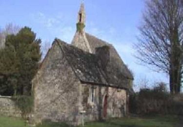
Circuit des chapelles, coté terre - Plestin-les-Grèves


Mountain bike
Medium
(1)
Plestin-les-Grèves,
Brittany,
Côtes-d'Armor,
France

17.1 km | 20 km-effort
2h 0min
Yes

Circuit de la chapelle Sainte Anne - Plestin-les-Grèves


Walking
Easy
Plestin-les-Grèves,
Brittany,
Côtes-d'Armor,
France

6.9 km | 8.4 km-effort
1h 40min
Yes
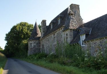
Circuit de la chapelle St Jagut - Plestin-les-Grèves


Walking
Easy
Plestin-les-Grèves,
Brittany,
Côtes-d'Armor,
France

7.9 km | 9.2 km-effort
2h 0min
Yes

Circuit des chapelles, coté mer - Plestin-les-Grèves


Mountain bike
Easy
Plestin-les-Grèves,
Brittany,
Côtes-d'Armor,
France

9.6 km | 11.2 km-effort
1h 0min
Yes
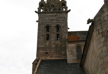
GR 34 B


On foot
Easy
Plestin-les-Grèves,
Brittany,
Côtes-d'Armor,
France

3.6 km | 4.2 km-effort
57min
No
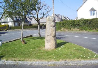
Circuit de la chapelle St Roch - Plestin-les-Grèves


Walking
Easy
Plestin-les-Grèves,
Brittany,
Côtes-d'Armor,
France

5.8 km | 7.2 km-effort
1h 30min
Yes

j2 Guimaec - Plouman’ach


Electric bike
Very easy
Lanmeur,
Brittany,
Finistère,
France

61 km | 71 km-effort
5h 35min
No

Plouegat Guerrand


Walking
Difficult
Plouégat-Guérand,
Brittany,
Finistère,
France

10.4 km | 12.5 km-effort
2h 52min
Yes

Douron


Other activity
Very easy
Plestin-les-Grèves,
Brittany,
Côtes-d'Armor,
France

12.6 km | 14.8 km-effort
4h 40min
Yes


 SityTrail


bouclé de St-Mars ch. à Lonperrier