


6.6 km | 8.7 km-effort


User


FREE GPS app for hiking
 SityTrail
IGN / Geographical institutes
SityTrail World
The world is yours!
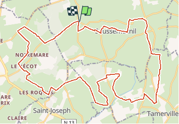
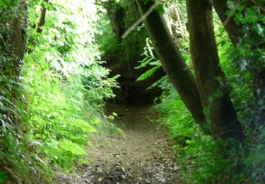
Trail Mountain bike of 29 km to be discovered at Normandy, Manche, Saussemesnil. This trail is proposed by tracegps.
Circuit composé en grande partie de chemins carrossés, idéal pour découvrir le secteur autrement que par la route, peu technique. Circuit proposé par Jean-Marc du Club des Haguards, club qui vous invite à venir nous rejoindre tous les dimanches matins à 8h45 dans un rayon de 20 km autour de Cherbourg afin de découvrir de fabuleux sentiers dans une ambiance sportive et conviviale... Pour plus d'infos: leshaguards.com ou sur Facebook Les Haguards.
Walking

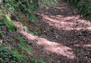
Mountain bike
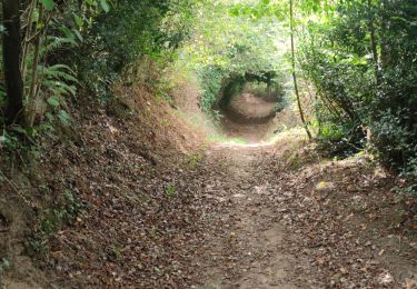
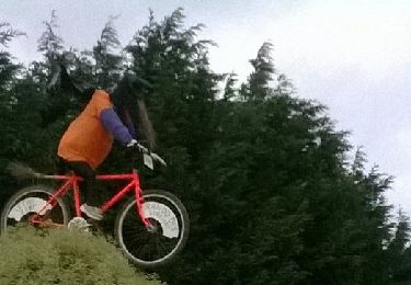
Mountain bike
Walking
Mountain bike

Mountain bike

Walking
Walking