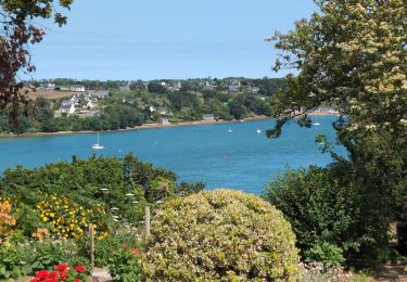
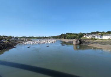
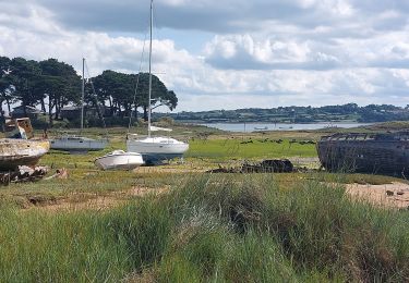
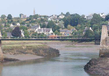
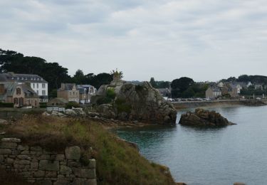
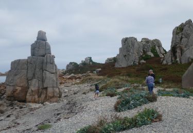
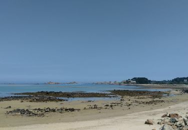
Trail Walking Tréguier - Autour de Tréguier - Etape 1 - Photo

Autour de Tréguier - Etape 1

 tracegps
tracegps

User

© OpenStreetMap contributors
Length
Length
16.8 km
Max alt
Max alt
99 m
Uphill gradient
Uphill gradient
232 m
Km-Effort
Km-Effort  
19.9 km
Min alt
Min alt
1 m
Downhill gradient
Downhill gradient
232 m
Boucle
Boucle
No
Creation date :
2014-12-10 00:00:00.0
Updated on :
2014-12-10 00:00:00.0

(0 Reviews)

Walking
Walking
4h15
Difficulty : Medium

Scan this QR Code to open this trail in the SityTrail application

FREE GPS app for hiking

Logo SityTrail SityTrail

IGN / Geographical institutes

Download SityTrail from the App Store Download SityTrail from Google Play

Logo SityTrail SityTrail World

The world is yours!

Download SityTrail from the App Store Download SityTrail from Google Play Download SityTrail on Huawei AppGallery

About

Trail Walking of 16.8 km to be discovered at Brittany, Côtes-d'Armor, Tréguier. This trail is proposed by tracegps.

Description

Cette randonnée est la première étape d'un circuit en boucle relativement facile de 4 jours. Ce circuit convient à de bons marcheurs qui veulent débuter en randonnée itinérante. Trace préparée sur un logiciel cartographique. Il risque d'y avoir quelques écarts par rapport au terrain. Autour de Tréguier Etape N°1 Départ du port de Tréguier (attention, ne pas se garer côté ville, consulter les panneaux de stationnement). Départ balisage GR. Au niveau d'une esplanade sur un grand méandre en amont du pont St François, quitter le GR, balisage PR à gauche sur une petite route. Après avoir obliqué à gauche avant un vieux viaduc, laisser un PR partir à droite et prendre le PR à gauche qui descend vers le Guindy. Peu après le passage de la D 74, laisser le PR filer à droite et continuer tout droit ( pas de balisage ). A Kergoniou, après avoir pris à gauche un chemin dans les champs, prendre le chemin à droite avant la haie. Au niveau de Pen Prat, on récupère un tracé PR venu d' en face que l' on suit sur la droite. On arrive sur la plage et on prend à gauche. Il existe 2 hôtels et des chambres d'hôtes à Trévou-Tréguignec.

Elevation profile

Photos

Points of interest

Point of interest Trévou-Tréguignec - WP 1 - Photo
tracegps
TRÉVOU-TRÉGUIGNEC 
Point of interest Plouguiel - B - Photo
tracegps
PLOUGUIEL 
Point of interest Plouguiel - B - Photo
tracegps
PLOUGUIEL 
Point of interest Camlez - T? - Photo
tracegps
CAMLEZ 
Point of interest Camlez - B - Photo
tracegps
CAMLEZ 
Point of interest Trédarzec - D+B - Photo
tracegps
TRÉDARZEC 
Point of interest Plouguiel - B - Photo
tracegps
PLOUGUIEL 

Positioning

Country:
France
Region :
Brittany
Department/Province :
Côtes-d'Armor
Municipality :
Tréguier
Location:
Unknown
Start:(UTM)
483493 ; 5403939 (30U) N.

Trails nearby

Trail Walking Trédarzec - Trédarzec - GR34 St-Laurent Kerbors - 26.9km 295m 6h10 (50mn) - 2024 06 25 - Photo
Walking
GUIDE
Orcal37

Walking

Medium
Trédarzec, Brittany, Côtes-d'Armor, France
27 km | 31 km-effort
6h 10min
Yes
Trail Walking Trédarzec - Trédarzec Traou Meur - Tréguier Plouguiel la Pointe Jaune GR34 - 22km 340m 5h05 (1h) - 2024 06 24 - Photo
Walking
GUIDE
Orcal37

Walking

Medium
Trédarzec, Brittany, Côtes-d'Armor, France
22 km | 27 km-effort
5h 5min
Yes
Trail Walking Plouguiel - GR_34_DF_27_Plouguiel_Plougrescant_20240913 - Photo
Walking
patrickdanilo

Walking

Easy
Plouguiel, Brittany, Côtes-d'Armor, France
17.5 km | 20 km-effort
4h 32min
No
Trail Walking Kerbors - GR_34_DE_26_Kerbors_Plouguiel_20240819 - Photo
Walking
patrickdanilo

Walking

Easy
Kerbors, Brittany, Côtes-d'Armor, France
15.2 km | 18.1 km-effort
3h 23min
No
Trail Electric bike Plouguiel - Port Blanc et Bugélès à partir de Treguier - Photo
Electric bike
EricVIBERT

Electric bike

Medium
Plouguiel, Brittany, Côtes-d'Armor, France
25 km | 29 km-effort
3h 3min
Yes
Trail Electric bike Minihy-Tréguier - Boucle Tréguier La Roche Derrien - Photo
Electric bike
EricVIBERT

Electric bike

Easy
(1)
Minihy-Tréguier, Brittany, Côtes-d'Armor, France
35 km | 40 km-effort
4h 24min
Yes
Trail Electric bike Tréguier - Tour de la pointe de Plougrescrant à partir de Treguier - Photo
Electric bike
EricVIBERT

Electric bike

Easy
(1)
Tréguier, Brittany, Côtes-d'Armor, France
32 km | 37 km-effort
3h 38min
No
Trail Walking Plouguiel - Bugelez - Photo
Walking
nolsim

Walking

Easy
Plouguiel, Brittany, Côtes-d'Armor, France
18.3 km | 20 km-effort
5h 7min
No
Trail On foot Plouguiel - GR34 2025 E5 Plouguiel - Saint Antoine - Photo
On foot
GUIDE
chessyca

On foot

Medium
Plouguiel, Brittany, Côtes-d'Armor, France
23 km | 27 km-effort
6h 12min
No


Close
My subscriptions