


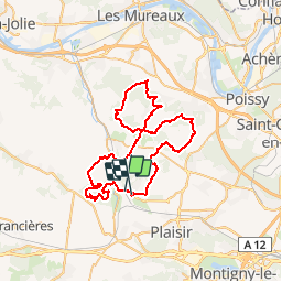

12.7 km | 15.4 km-effort


User


FREE GPS app for hiking
 SityTrail
IGN / Geographical institutes
SityTrail World
The world is yours!
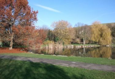
Trail Mountain bike of 58 km to be discovered at Ile-de-France, Yvelines, Beynes. This trail is proposed by tracegps.
Bonne rando de 4h pour 58 km pour un vététiste modéré avec un dénivelé et - de 580 m. Belle région.

Walking
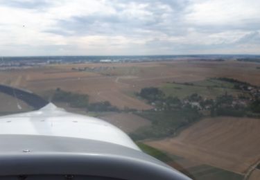
Plane
Walking
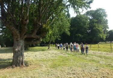
Walking
Walking

Walking

Walking

Walking
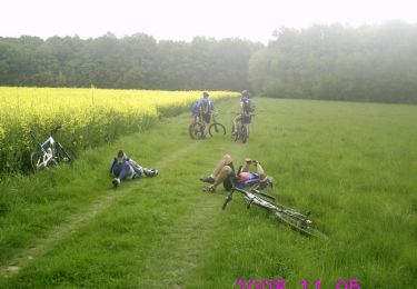
Mountain bike