


4.9 km | 5.3 km-effort


User


FREE GPS app for hiking
 SityTrail
IGN / Geographical institutes
SityTrail World
The world is yours!
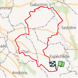
Trail Mountain bike of 25 km to be discovered at New Aquitaine, Pyrénées-Atlantiques, Espéchède. This trail is proposed by tracegps.
Boucle de 25 km autour du village d'Espéchède qui peut être réalisée à cheval, à VTT ou à pied. Le départ et l'arrivée se font sur le parking de la salle des fêtes d'Espéchède.


sport

On foot
Walking
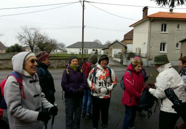
Walking

Walking

Walking

Walking
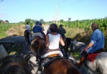
Equestrian

Mountain bike