


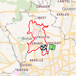

10.8 km | 13.2 km-effort


User


FREE GPS app for hiking
 SityTrail
IGN / Geographical institutes
SityTrail World
The world is yours!
Trail Other activity of 13.1 km to be discovered at Brittany, Finistère, Brest. This trail is proposed by jmboucher.
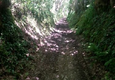
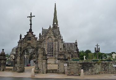
entre Lambezellec et Bohars dans la vallée du Restic, le long de la Penfeld et la vallée des moulins en passant par la motte féodale et l'ancienne gare de Bohars

Walking

Mountain bike

Nordic walking

Walking

Walking
Walking
Walking

Walking